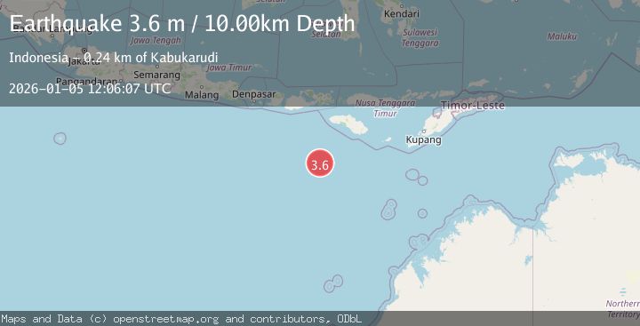
Earthquake SOUTH OF SUMBAWA, INDONESIA
Mon, 05 Jan 2026 12:06:07 GMT
Time1 month ago
Location
-11.6800, 118.5200
Depth
10.0 KM
Event Summary
A 3.6 magnitude earthquake struck on SOUTH OF SUMBAWA, INDONESIA, at Mon, 05 Jan 2026 12:06:07 GMT. Depth: 10km. Reviewed by BMKG seismologists, this minor quake occurred at a magnitude type of m.
Magnitude
3.6
m
Source
BMKG
Intensity
-
Agency Reports
1 Sources| Source | Magnitude | Depth | Time |
|---|---|---|---|
| BMKGPrimary | 3.6 | 10 km | 1 month ago |
Earthquake Details
AutomaticEvent IDemsc_BMKG_20260105_0000179
Tsunami PotentialNo
Magnitude Typem
Nearest Places
- Corona Bank79.5 km
- Watu Kalode226.2 km
- Tanjung Mambang226.5 km
- Tanjung Toroha226.7 km
- Tanjung Matogola226.8 km
Comments
Join the discussion about this event.
Latest Earthquakes
0.7Mag
6 km WNW of Cobb, CA
Time18 hours ago
Depth-0.59 km
SourceUSGS (Automatic)
0.7Mag
Southern Alaska
Time18 hours ago
Depth0.12 km
SourceVYT (Automatic)
2.1Mag
Sumbawa Region, Indonesia
Time18 hours ago
Depth21.86 km
SourceBMKG
4.0Mag
northwest of Australia
Time18 hours ago
Depth91.80 km
SourceVYT (Automatic)
1.8Mag
Tarapaca, Chile
Time18 hours ago
Depth16.60 km
SourceVYT (Automatic)
Nearby Earthquakes
4.0Mag
SOUTH OF SUMBAWA, INDONESIA
Time4 years ago
Depth10.00 km
SourceDJA (Automatic)
4.0Mag
SOUTH OF SUMBAWA, INDONESIA
Time6 years ago
Depth10.00 km
SourceDJA (Automatic)
5.3Mag
SOUTH OF SUMBAWA, INDONESIA
Time9 years ago
Depth10.00 km
SourceGFZ (Automatic)
4.7Mag
SOUTH OF SUMBAWA, INDONESIA
Time1 month ago
Depth10.00 km
SourceEMSC (Automatic)
5.2Mag
SOUTH OF SUMBAWA, INDONESIA
Time6 years ago
Depth10.00 km
SourceEMSC (Automatic)