Earthquake SOUTH OF SUMBAWA, INDONESIA
Thu, 08 Jan 2026 17:33:52 GMT
Time1 month ago
Location
-10.8200, 117.8300
Depth
10.0 KM
Event Summary
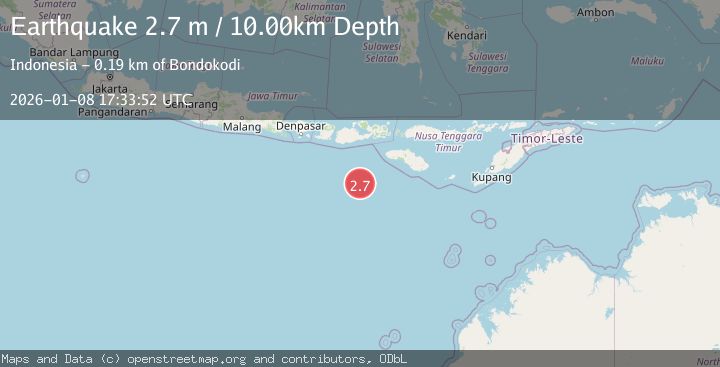
A 2.7 magnitude earthquake struck on SOUTH OF SUMBAWA, INDONESIA, at Thu, 08 Jan 2026 17:33:52 GMT. Depth: 10km. Reviewed by BMKG seismologists, this minor quake occurred at a magnitude type of m.
Magnitude
2.7
m
Source
BMKG
Intensity
-
Agency Reports
1 Sources| Source | Magnitude | Depth | Time |
|---|---|---|---|
| BMKGPrimary | 2.7 | 10 km | 1 month ago |
Earthquake Details
AutomaticEvent IDemsc_BMKG_20260108_0000254
Tsunami PotentialNo
Magnitude Typem
Nearest Places
- 178.9 km
- 182.6 km
- 182.8 km
- 183.1 km
- 183.2 km
Comments
Join the discussion about this event.
Latest Earthquakes
2.3Mag
Flores region, Indonesia
Time55 seconds ago
Depth19.90 km
SourceVYT (Automatic)
4.5Mag
northern Sumatra, Indonesia
Time5 minutes ago
Depth0.00 km
SourceVYT (Automatic)
0.9Mag
7 km NW of The Geysers, CA
Time7 minutes ago
Depth2.85 km
SourceUSGS (Automatic)
2.5Mag
near the coast of southern Peru
Time8 minutes ago
Depth0.61 km
SourceVYT (Automatic)
3.0Mag
Southern Alaska
Time10 minutes ago
Depth0.00 km
SourceVYT (Automatic)
Nearby Earthquakes
2.7Mag
South of Sumbawa, Indonesia
Time6 days ago
Depth10.00 km
SourceBMKG
2.8Mag
SOUTH OF SUMBAWA, INDONESIA
Time1 month ago
Depth10.00 km
SourceBMKG (Automatic)
3.0Mag
SOUTH OF SUMBAWA, INDONESIA
Time0 years ago
Depth10.00 km
SourceBMKG (Automatic)
4.0Mag
South of Sumbawa, Indonesia
Time1 week ago
Depth10.00 km
SourceBMKG
4.0Mag
SOUTH OF SUMBAWA, INDONESIA
Time1 week ago
Depth10.00 km
SourceBMKG (Automatic)