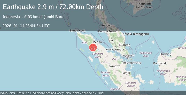
Earthquake NORTHERN SUMATRA, INDONESIA
Wed, 14 Jan 2026 23:04:54 GMT
Time1 month ago
Location
3.0100, 97.9800
Depth
72.0 KM
Event Summary
A 2.9 magnitude earthquake struck on NORTHERN SUMATRA, INDONESIA, at Wed, 14 Jan 2026 23:04:54 GMT. Depth: 72km. Reviewed by BMKG seismologists, this minor quake occurred at a magnitude type of m.
Magnitude
2.9
m
Source
BMKG
Intensity
-
Agency Reports
1 Sources| Source | Magnitude | Depth | Time |
|---|---|---|---|
| BMKGPrimary | 2.9 | 72 km | 1 month ago |
Earthquake Details
AutomaticEvent IDemsc_BMKG_20260114_0000324
Tsunami PotentialNo
Magnitude Typem
Nearest Places
- Desa Alur Subur3.6 km
- Deleng Daholi4.0 km
- Lau Sekilam4.0 km
- Lae Penuban4.5 km
- Desa Liang Jering4.7 km
Comments
Join the discussion about this event.
Latest Earthquakes
3.2Mag
Southeastern Alaska
Time23 hours ago
Depth0.00 km
SourceVYT (Automatic)
1.0Mag
5 km WSW of Anza, CA
Time23 hours ago
Depth7.10 km
SourceUSGS (Automatic)
4.7Mag
Banda Sea
Time23 hours ago
Depth153.69 km
SourceVYT (Automatic)
3.2Mag
NORTH ISLAND OF NEW ZEALAND
Time23 hours ago
Depth43.70 km
SourceGNS (Automatic)
2.6Mag
western Texas
Time23 hours ago
Depth0.00 km
SourceVYT (Automatic)
Nearby Earthquakes
6.1Mag
NORTHERN SUMATRA, INDONESIA
Time13 years ago
Depth93.00 km
SourceEMSC (Automatic)
6.6Mag
NORTHERN SUMATRA, INDONESIA
Time14 years ago
Depth95.00 km
SourceEMSC (Automatic)
3.0Mag
NORTHERN SUMATRA, INDONESIA
Time4 years ago
Depth10.00 km
SourceDJA (Automatic)
3.0Mag
NORTHERN SUMATRA, INDONESIA
Time5 years ago
Depth97.00 km
SourceDJA (Automatic)
3.0Mag
NORTHERN SUMATRA, INDONESIA
Time10 months ago
Depth10.00 km
SourceBMKG (Automatic)