Earthquake Near North Coast of West Papua
Wed, 28 Jan 2026 00:16:03 GMT
Time1 hour ago
Location
-2.3394, 140.1685
Depth
10.0 KM
Event Summary
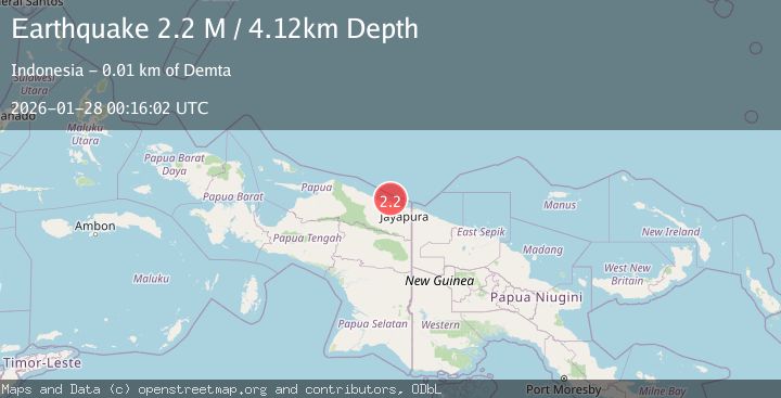
A 2.2 magnitude earthquake struck on Near North Coast of West Papua, at Wed, 28 Jan 2026 00:16:03 GMT. Depth: 10km. Reviewed by BMKG seismologists, this minor quake occurred at a magnitude type of M.
Magnitude
2.2
M
Source
BMKG
Intensity
-
Agency Reports
1 Sources| Source | Magnitude | Depth | Time |
|---|---|---|---|
| BMKGPrimary | 2.2 | 10 km | 1 hour ago |
Earthquake Details
AutomaticEvent IDbmg2026bxjd
Tsunami PotentialNo
Magnitude TypeM
Nearest Places
- Muris Kecil1.2 km
- Kampung Yougapsa1.9 km
- Tanjung Ande2.1 km
- Pulau Besar2.2 km
- Teluk Demta2.4 km
Comments
Join the discussion about this event.
Latest Earthquakes
2.7Mag
Minahassa Peninsula, Sulawesi
Time1 hour ago
Depth10.00 km
SourceBMKG (Automatic)
2.5Mag
Java, Indonesia
Time1 hour ago
Depth10.00 km
SourceBMKG (Automatic)
2.8Mag
19 km ENE of Ferry, Alaska
Time2 hours ago
Depth5.00 km
SourceUSGS (Automatic)
2.3Mag
CYPRUS REGION
Time2 hours ago
Depth44.80 km
SourceKOERI (Automatic)
3.7Mag
OFFSHORE EL SALVADOR
Time2 hours ago
Depth68.00 km
SourceMARN (Automatic)
Nearby Earthquakes
2.4Mag
Near North Coast of West Papua
Time6 days ago
Depth18.12 km
SourceBMKG (Automatic)
2.6Mag
Near North Coast of West Papua
Time6 days ago
Depth10.00 km
SourceBMKG (Automatic)
2.2Mag
Near North Coast of West Papua
Time4 days ago
Depth10.00 km
SourceBMKG (Automatic)
2.1Mag
Near North Coast of West Papua
Time2 days ago
Depth10.56 km
SourceBMKG (Automatic)
2.8Mag
Near North Coast of West Papua
Time3 days ago
Depth12.25 km
SourceBMKG (Automatic)