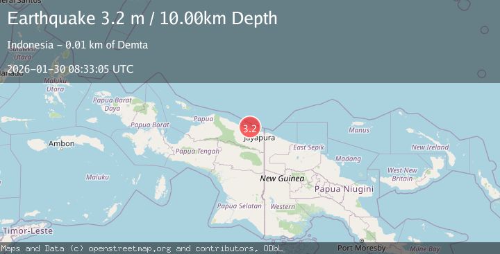
Earthquake Near North Coast of West Papua
Fri, 30 Jan 2026 08:33:05 GMT
Time1 hour ago
Location
-2.3625, 140.0898
Depth
19.9 KM
Event Summary
A 2.2 magnitude earthquake struck on Near North Coast of West Papua, at Fri, 30 Jan 2026 08:33:05 GMT. Depth: 19.894554km. Reviewed by BMKG seismologists, this minor quake occurred at a magnitude type of M.
Magnitude
2.2
M
Source
BMKG
Intensity
-
Agency Reports
1 Sources| Source | Magnitude | Depth | Time |
|---|---|---|---|
| BMKGPrimary | 2.2 | 20 km | 1 hour ago |
Earthquake Details
AutomaticEvent IDbmg2026cbqn
Tsunami PotentialNo
Magnitude TypeM
Nearest Places
- Wai Humbei1.6 km
- Distrik Demta3.9 km
- Kampung Kamdera4.2 km
- Moaif4.6 km
- Kampung Ambora5.0 km
Comments
Join the discussion about this event.
Latest Earthquakes
0.7Mag
7 km S of Pearblossom, CA
Time1 hour ago
Depth9.52 km
SourceUSGS (Automatic)
3.1Mag
Flores Region, Indonesia
Time2 hours ago
Depth85.93 km
SourceBMKG (Automatic)
2.2Mag
Sumbawa Region, Indonesia
Time2 hours ago
Depth10.00 km
SourceBMKG (Automatic)
2.1Mag
Java, Indonesia
Time2 hours ago
Depth71.12 km
SourceBMKG (Automatic)
1.5Mag
21 km NNE of Indio, CA
Time2 hours ago
Depth5.55 km
SourceUSGS (Automatic)
Nearby Earthquakes
2.6Mag
Near North Coast of West Papua
Time1 day ago
Depth18.57 km
SourceBMKG (Automatic)
2.4Mag
Near North Coast of West Papua
Time1 week ago
Depth18.12 km
SourceBMKG (Automatic)
2.2Mag
Near North Coast of West Papua
Time2 days ago
Depth4.12 km
SourceBMKG (Automatic)
2.2Mag
Near North Coast of West Papua
Time1 week ago
Depth10.00 km
SourceBMKG (Automatic)
2.6Mag
Near North Coast of West Papua
Time1 week ago
Depth10.00 km
SourceBMKG (Automatic)