Earthquake KEPULAUAN BABAR, INDONESIA
Sat, 17 Jan 2026 18:37:45 GMT
Time1 month ago
Location
-7.0200, 129.7300
Depth
174.0 KM
Event Summary
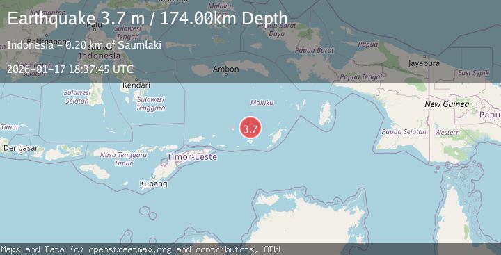
A 3.7 magnitude earthquake struck on KEPULAUAN BABAR, INDONESIA, at Sat, 17 Jan 2026 18:37:45 GMT. Depth: 174km. Reviewed by BMKG seismologists, this minor quake occurred at a magnitude type of m.
Magnitude
3.7
m
Source
BMKG
Intensity
-
Agency Reports
1 Sources| Source | Magnitude | Depth | Time |
|---|---|---|---|
| BMKGPrimary | 3.7 | 174 km | 1 month ago |
Earthquake Details
AutomaticEvent IDemsc_BMKG_20260117_0000215
Tsunami PotentialNo
Magnitude Typem
Nearest Places
- Damar Ridge32.8 km
- Tanjung Sifanandrierna37.6 km
- Wotai38.7 km
- Rumadai39.2 km
- Bumai39.5 km
Comments
Join the discussion about this event.
Latest Earthquakes
1.4Mag
Kenai Peninsula, Alaska
Time7 hours ago
Depth1.95 km
SourceVYT (Automatic)
3.1Mag
Northern Sumatra, Indonesia
Time7 hours ago
Depth14.69 km
SourceBMKG
1.9Mag
Channel Islands region, California
Time7 hours ago
Depth2.81 km
SourceVYT (Automatic)
3.3Mag
Southern Alaska
Time7 hours ago
Depth13.06 km
SourceVYT (Automatic)
1.9Mag
Southern Yukon Territory, Canada
Time7 hours ago
Depth0.00 km
SourceVYT (Automatic)
Nearby Earthquakes
5.6Mag
KEPULAUAN BABAR, INDONESIA
Time2 years ago
Depth120.00 km
SourceEMSC (Automatic)
4.5Mag
Banda Sea
Time2 days ago
Depth71.53 km
SourceVYT (Automatic)
4.0Mag
KEPULAUAN BABAR, INDONESIA
Time1 month ago
Depth172.00 km
SourceBMKG (Automatic)
4.6Mag
BANDA SEA
Time1 month ago
Depth138.00 km
SourceEMSC (Automatic)
3.8Mag
KEPULAUAN BABAR, INDONESIA
Time0 months ago
Depth191.00 km
SourceBMKG (Automatic)