Earthquake KEPULAUAN TALAUD, INDONESIA
Sun, 18 Jan 2026 05:55:50 GMT
Time1 month ago
Location
4.0200, 126.6500
Depth
16.0 KM
Event Summary
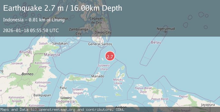
A 2.7 magnitude earthquake struck on KEPULAUAN TALAUD, INDONESIA, at Sun, 18 Jan 2026 05:55:50 GMT. Depth: 16km. Reviewed by BMKG seismologists, this minor quake occurred at a magnitude type of m.
Magnitude
2.7
m
Source
BMKG
Intensity
-
Agency Reports
1 Sources| Source | Magnitude | Depth | Time |
|---|---|---|---|
| BMKGPrimary | 2.7 | 16 km | 1 month ago |
Earthquake Details
AutomaticEvent IDemsc_BMKG_20260118_0000080
Tsunami PotentialNo
Magnitude Typem
Nearest Places
- Gunung Bararia2.0 km
- Desa Kalongan2.0 km
- Alude2.0 km
- Selat Lirung2.1 km
- Desa Alude2.6 km
Comments
Join the discussion about this event.
Latest Earthquakes
2.7Mag
near the coast of Tarapaca, Chile
Time1 minute ago
Depth56.52 km
SourceVYT (Automatic)
3.8Mag
Molucca Sea
Time3 minutes ago
Depth47.00 km
SourceVYT (Automatic)
1.7Mag
4 km SE of San Ramon, CA
Time3 minutes ago
Depth7.10 km
SourceUSGS (Automatic)
1.9Mag
6 km NW of Pinnacles, CA
Time7 minutes ago
Depth4.82 km
SourceUSGS (Automatic)
1.2Mag
Southern Yukon Territory, Canada
Time19 minutes ago
Depth0.00 km
SourceVYT (Automatic)
Nearby Earthquakes
2.9Mag
KEPULAUAN TALAUD, INDONESIA
Time1 month ago
Depth45.00 km
SourceBMKG (Automatic)
5.4Mag
KEPULAUAN TALAUD, INDONESIA
Time17 years ago
Depth40.00 km
SourceEMSC (Automatic)
3.0Mag
KEPULAUAN TALAUD, INDONESIA
Time4 months ago
Depth40.00 km
SourceBMKG (Automatic)
4.8Mag
Kepulauan Talaud, Indonesia
Time6 days ago
Depth84.72 km
SourceVYT (Automatic)
5.5Mag
KEPULAUAN TALAUD, INDONESIA
Time19 years ago
Depth10.00 km
SourceEMSC (Automatic)