Earthquake SOUTH OF SUMBAWA, INDONESIA
Tue, 03 Feb 2026 13:49:44 GMT
Time2 weeks ago
Location
-11.0300, 118.3900
Depth
10.0 KM
Event Summary
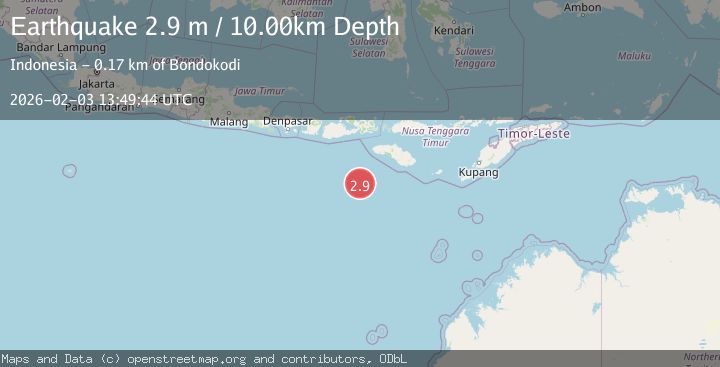
A 2.9 magnitude earthquake struck on SOUTH OF SUMBAWA, INDONESIA, at Tue, 03 Feb 2026 13:49:44 GMT. Depth: 10km. Reviewed by BMKG seismologists, this minor quake occurred at a magnitude type of m.
Magnitude
2.9
m
Source
BMKG
Intensity
-
Agency Reports
1 Sources| Source | Magnitude | Depth | Time |
|---|---|---|---|
| BMKGPrimary | 2.9 | 10 km | 2 weeks ago |
Earthquake Details
AutomaticEvent IDemsc_BMKG_20260203_0000191
Tsunami PotentialNo
Magnitude Typem
Nearest Places
- Corona Bank153.1 km
- Tanjung Mareha165.1 km
- Tanjung Waikataku165.1 km
- Loko Waikataku165.3 km
- Pulau Malondobara165.4 km
Comments
Join the discussion about this event.
Latest Earthquakes
1.3Mag
SWITZERLAND
Time16 hours ago
Depth7.60 km
SourceETHZ (Automatic)
2.7Mag
Andreanof Islands, Aleutian Islands, Alaska
Time16 hours ago
Depth29.17 km
SourceVYT (Automatic)
1.6Mag
44 km NW of Toyah, Texas
Time16 hours ago
Depth0.00 km
SourceUSGS (Automatic)
2.2Mag
Washington
Time16 hours ago
Depth27.59 km
SourceVYT (Automatic)
2.4Mag
Antofagasta, Chile
Time16 hours ago
Depth133.18 km
SourceVYT (Automatic)
Nearby Earthquakes
2.8Mag
South of Sumbawa, Indonesia
Time20 hours ago
Depth10.00 km
SourceBMKG
3.1Mag
South of Sumbawa, Indonesia
Time2 weeks ago
Depth37.44 km
SourceBMKG (Automatic)
2.9Mag
South of Sumbawa, Indonesia
Time1 week ago
Depth10.00 km
SourceBMKG
2.8Mag
SOUTH OF SUMBAWA, INDONESIA
Time1 month ago
Depth10.00 km
SourceBMKG (Automatic)
3.0Mag
south of Sumbawa, Indonesia
Time1 day ago
Depth159.91 km
SourceVYT (Automatic)