Earthquake NEAR N COAST OF PAPUA, INDONESIA
Sun, 08 Feb 2026 05:48:00 GMT
Time1 week ago
Location
-1.8400, 139.8100
Depth
6.0 KM
Event Summary
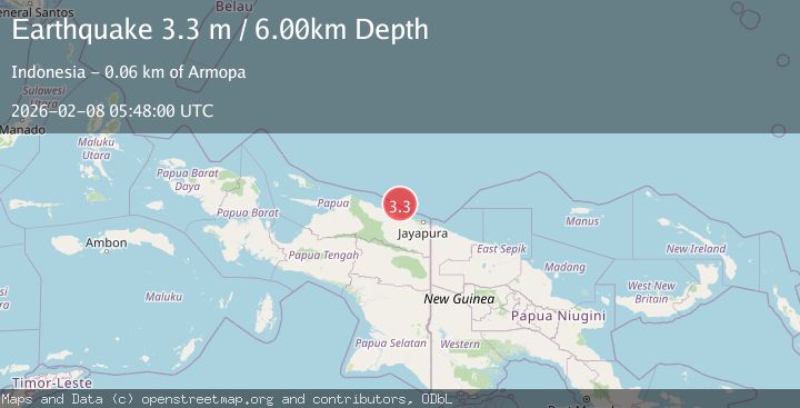
A 3.3 magnitude earthquake struck on NEAR N COAST OF PAPUA, INDONESIA, at Sun, 08 Feb 2026 05:48:00 GMT. Depth: 6km. Reviewed by BMKG seismologists, this minor quake occurred at a magnitude type of m.
Magnitude
3.3
m
Source
BMKG
Intensity
-
Agency Reports
1 Sources| Source | Magnitude | Depth | Time |
|---|---|---|---|
| BMKGPrimary | 3.3 | 6 km | 1 week ago |
Earthquake Details
AutomaticEvent IDemsc_BMKG_20260208_0000085
Tsunami PotentialNo
Magnitude Typem
Nearest Places
- Pulau Anus46.5 km
- Pulau Yarsun48.5 km
- Kepulauan Podena48.7 km
- Pulau Kaitjebo49.0 km
- Pulau Mengge49.1 km
Comments
Join the discussion about this event.
Latest Earthquakes
3.2Mag
OFF W. COAST OF S. ISLAND, N.Z.
Time18 hours ago
Depth10.00 km
SourceGNS (Automatic)
1.9Mag
Tarapaca, Chile
Time18 hours ago
Depth109.74 km
SourceVYT (Automatic)
2.1Mag
Ceram Sea
Time18 hours ago
Depth10.00 km
SourceBMKG
3.1Mag
Ceram Sea
Time18 hours ago
Depth10.00 km
SourceBMKG
3.1Mag
Antofagasta, Chile
Time18 hours ago
Depth122.80 km
SourceVYT (Automatic)
Nearby Earthquakes
5.6Mag
NEAR N COAST OF PAPUA, INDONESIA
Time7 years ago
Depth20.00 km
SourceEMSC (Automatic)
2.4Mag
Near North Coast of West Papua
Time1 week ago
Depth10.00 km
SourceBMKG
3.0Mag
NEAR N COAST OF PAPUA, INDONESIA
Time1 month ago
Depth13.00 km
SourceBMKG (Automatic)
2.5Mag
Near North Coast of West Papua
Time3 weeks ago
Depth10.00 km
SourceBMKG (Automatic)
2.8Mag
NEAR N COAST OF PAPUA, INDONESIA
Time1 month ago
Depth10.00 km
SourceBMKG (Automatic)