Earthquake Timor Region
Mon, 02 Feb 2026 06:13:14 GMT
Time17 hours ago
Location
-9.7023, 123.1468
Depth
10.5 KM
Event Summary
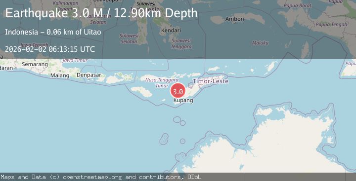
A 2.9 magnitude earthquake struck on Timor Region, at Mon, 02 Feb 2026 06:13:14 GMT. Depth: 10.500933km. Reviewed by BMKG seismologists, this minor quake occurred at a magnitude type of M.
Magnitude
2.9
M
Source
BMKG
Intensity
-
Agency Reports
1 Sources| Source | Magnitude | Depth | Time |
|---|---|---|---|
| BMKGPrimary | 2.9 | 11 km | 17 hours ago |
Earthquake Details
AutomaticEvent IDbmg2026cgyk
Tsunami PotentialNo
Magnitude TypeM
Nearest Places
- Nuaf Panmolo43.7 km
- Savu Basin51.5 km
- Tanjung Batuitam53.6 km
- Tanjung Pantulan54.3 km
- Teluk Pantulan54.3 km
Comments
Join the discussion about this event.
Latest Earthquakes
1.7Mag
32 km S of Rachel, Nevada
Time17 hours ago
Depth0.83 km
SourceUSGS (Automatic)
1.7Mag
7 km NW of Delta, B.C., MX
Time17 hours ago
Depth5.86 km
SourceUSGS (Automatic)
0.9Mag
5 km NW of The Geysers, CA
Time17 hours ago
Depth3.47 km
SourceUSGS (Automatic)
1.1Mag
3 km NNW of Fontana, CA
Time17 hours ago
Depth6.45 km
SourceUSGS (Automatic)
1.7Mag
PYRENEES
Time17 hours ago
Depth1.70 km
SourceIGN (Automatic)
Nearby Earthquakes
2.6Mag
Timor Region
Time6 days ago
Depth35.26 km
SourceBMKG (Automatic)
3.5Mag
Timor Region
Time1 week ago
Depth49.38 km
SourceBMKG (Automatic)
3.6Mag
Savu Sea
Time1 day ago
Depth53.53 km
SourceBMKG (Automatic)
3.1Mag
Timor Region
Time5 days ago
Depth6.99 km
SourceBMKG (Automatic)
3.0Mag
Flores Region, Indonesia
Time1 week ago
Depth84.08 km
SourceBMKG (Automatic)