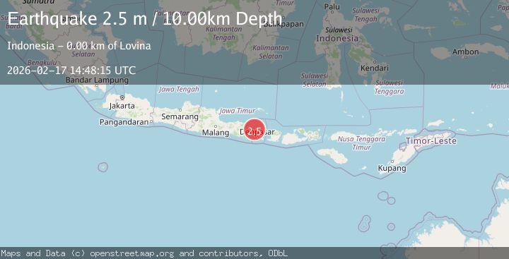
Earthquake BALI REGION, INDONESIA
Tue, 17 Feb 2026 14:48:15 GMT
Time21 hours ago
Location
-8.1600, 115.0500
Depth
10.0 KM
Event Summary
A 2.5 magnitude earthquake struck on BALI REGION, INDONESIA, at Tue, 17 Feb 2026 14:48:15 GMT. Depth: 10km. Reviewed by BMKG seismologists, this minor quake occurred at a magnitude type of m.
Magnitude
2.5
m
Source
BMKG
Intensity
-
Agency Reports
1 Sources| Source | Magnitude | Depth | Time |
|---|---|---|---|
| BMKGPrimary | 2.5 | 10 km | 21 hours ago |
Earthquake Details
AutomaticEvent IDemsc_BMKG_20260217_0000230
Tsunami PotentialNo
Magnitude Typem
Nearest Places
- Banjar Pasar0.6 km
- Desa Anturan0.6 km
- Banjar Labak0.7 km
- Pangkung Bululi0.8 km
- Pangkung Terung0.8 km
Comments
Join the discussion about this event.
Latest Earthquakes
5.2Mag
Antofagasta, Chile
Time20 hours ago
Depth119.26 km
SourceVYT (Automatic)
2.2Mag
Alaska Peninsula
Time20 hours ago
Depth0.00 km
SourceVYT (Automatic)
0.8Mag
8 km NW of The Geysers, CA
Time20 hours ago
Depth1.44 km
SourceUSGS (Automatic)
2.0Mag
Flores Region, Indonesia
Time20 hours ago
Depth155.00 km
SourceBMKG
2.7Mag
northwestern Russia
Time20 hours ago
Depth10.00 km
SourceVYT (Automatic)
Nearby Earthquakes
2.5Mag
Bali Region, Indonesia
Time1 week ago
Depth7.62 km
SourceBMKG (Automatic)
3.0Mag
BALI REGION, INDONESIA
Time3 years ago
Depth237.00 km
SourceDJA (Automatic)
3.0Mag
BALI REGION, INDONESIA
Time2 years ago
Depth10.00 km
SourceBMKG (Automatic)
5.2Mag
BALI REGION, INDONESIA
Time6 years ago
Depth10.00 km
SourceEMSC (Automatic)
2.2Mag
Bali Region, Indonesia
Time2 weeks ago
Depth13.17 km
SourceBMKG (Automatic)