Earthquake SOUTHERN SUMATRA, INDONESIA
Mon, 23 Feb 2026 06:43:11 GMT
Time1 hour ago
Location
-2.9100, 102.2600
Depth
20.0 KM
Event Summary
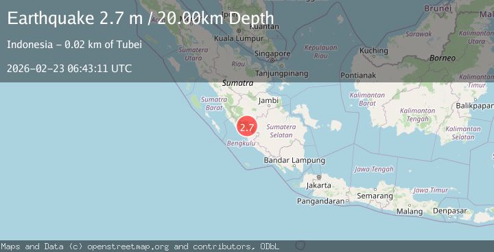
A 2.7 magnitude earthquake struck on SOUTHERN SUMATRA, INDONESIA, at Mon, 23 Feb 2026 06:43:11 GMT. Depth: 20km. Reviewed by BMKG seismologists, this minor quake occurred at a magnitude type of m.
Magnitude
2.7
m
Source
BMKG
Intensity
-
Agency Reports
1 Sources| Source | Magnitude | Depth | Time |
|---|---|---|---|
| BMKGPrimary | 2.7 | 20 km | 1 hour ago |
Earthquake Details
AutomaticEvent IDemsc_BMKG_20260223_0000104
Tsunami PotentialNo
Magnitude Typem
Nearest Places
- 4.7 km
- 6.6 km
- 8.4 km
- 10.0 km
- 10.1 km
Comments
Join the discussion about this event.
Latest Earthquakes
1.6Mag
near the coast of Tarapaca, Chile
Time1 hour ago
Depth11.23 km
SourceVYT (Automatic)
1.5Mag
94 km NW of Yakutat, Alaska
Time1 hour ago
Depth5.00 km
SourceUSGS (Automatic)
2.8Mag
Southern Sumatra, Indonesia
Time1 hour ago
Depth31.74 km
SourceBMKG
1.9Mag
Central California
Time1 hour ago
Depth26.25 km
SourceVYT (Automatic)
3.1Mag
Nevada
Time1 hour ago
Depth0.00 km
SourceVYT (Automatic)
Nearby Earthquakes
5.1Mag
SOUTHERN SUMATRA, INDONESIA
Time18 years ago
Depth30.00 km
SourceEMSC (Automatic)
5.1Mag
SOUTHERN SUMATRA, INDONESIA
Time9 years ago
Depth158.00 km
SourceEMSC (Automatic)
2.6Mag
SOUTHERN SUMATRA, INDONESIA
Time1 month ago
Depth155.00 km
SourceBMKG (Automatic)
5.1Mag
SOUTHERN SUMATRA, INDONESIA
Time11 years ago
Depth166.00 km
SourceEMSC (Automatic)
4.0Mag
SOUTHERN SUMATRA, INDONESIA
Time2 years ago
Depth116.00 km
SourceBMKG (Automatic)