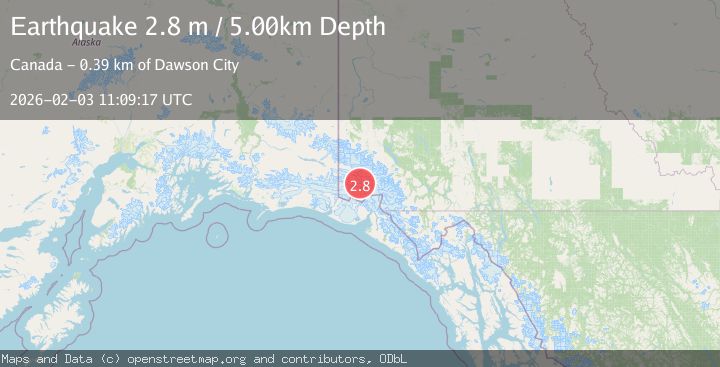
Earthquake SOUTHERN YUKON TERRITORY, CANADA
Tue, 03 Feb 2026 11:09:17 GMT
Time2 weeks ago
Location
60.5904, -140.0276
Depth
5.0 KM
Event Summary
A 2.8 magnitude earthquake struck on SOUTHERN YUKON TERRITORY, CANADA, at Tue, 03 Feb 2026 11:09:17 GMT. Depth: 5km. Reviewed by CN seismologists, this minor quake occurred at a magnitude type of m.
Magnitude
2.8
m
Source
CN
Intensity
-
Agency Reports
1 Sources| Source | Magnitude | Depth | Time |
|---|---|---|---|
| CNPrimary | 2.8 | 5 km | 2 weeks ago |
Earthquake Details
AutomaticEvent IDemsc_CN_20260203_0000352
Tsunami PotentialNo
Magnitude Typem
Nearest Places
- Marker Lake9.0 km
- McArthur Peak10.3 km
- Mount King George14.7 km
- Mount Queen Mary17.0 km
- Mount Logan20.8 km
Comments
Join the discussion about this event.
Latest Earthquakes
1.9Mag
western Texas
Time17 hours ago
Depth5.00 km
SourceVYT (Automatic)
2.2Mag
Flores Region, Indonesia
Time17 hours ago
Depth28.78 km
SourceBMKG
1.8Mag
Antofagasta, Chile
Time17 hours ago
Depth32.10 km
SourceVYT (Automatic)
1.4Mag
FRANCE
Time17 hours ago
Depth2.40 km
SourceETHZ (Automatic)
2.4Mag
Minahassa Peninsula, Sulawesi
Time17 hours ago
Depth7.56 km
SourceBMKG
Nearby Earthquakes
3.1Mag
SOUTHERN YUKON TERRITORY, CANADA
Time1 month ago
Depth5.00 km
SourceNEIC (Automatic)
3.1Mag
SOUTHERN YUKON TERRITORY, CANADA
Time1 month ago
Depth5.00 km
SourceNEIC (Automatic)
3.5Mag
Southeastern Alaska
Time2 days ago
Depth0.00 km
SourceVYT (Automatic)
2.5Mag
SOUTHERN YUKON TERRITORY, CANADA
Time1 month ago
Depth5.00 km
SourceNEIC (Automatic)
3.0Mag
SOUTHERN YUKON TERRITORY, CANADA
Time2 months ago
Depth5.00 km
SourceAK (Automatic)