Earthquake NICOBAR ISLANDS, INDIA REGION
Wed, 29 Dec 2004 10:24:01 GMT
Time21 years ago
Location
9.0400, 92.6800
Depth
33.0 KM
Event Summary
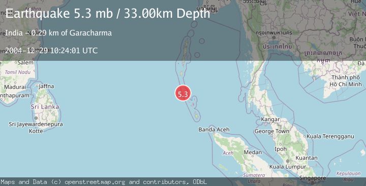
A 5.3 magnitude earthquake struck on NICOBAR ISLANDS, INDIA REGION, at Wed, 29 Dec 2004 10:24:01 GMT. Depth: 33km. Reviewed by EMSC seismologists, this moderate quake occurred at a magnitude type of mb.
Magnitude
5.3
mb
Source
EMSC
Intensity
-
Agency Reports
1 Sources| Source | Magnitude | Depth | Time |
|---|---|---|---|
| EMSCPrimary | 5.3 | 33 km | 21 years ago |
Earthquake Details
AutomaticEvent IDemsc_EMSC_20041229_0000056
Tsunami PotentialNo
Magnitude Typemb
Nearest Places
- 11.1 km
- 12.8 km
- 12.9 km
- 14.7 km
- 15.4 km
Comments
Join the discussion about this event.
Latest Earthquakes
2.2Mag
Flores Sea
Time8 minutes ago
Depth10.00 km
SourceBMKG
3.1Mag
Timor region, Indonesia
Time8 minutes ago
Depth107.54 km
SourceVYT (Automatic)
3.4Mag
Bali Sea
Time12 minutes ago
Depth25.51 km
SourceVYT (Automatic)
1.7Mag
STRAIT OF GIBRALTAR
Time12 minutes ago
Depth11.20 km
SourceIGN (Automatic)
2.8Mag
Ceram Sea
Time14 minutes ago
Depth98.36 km
SourceBMKG
Nearby Earthquakes
5.2Mag
NICOBAR ISLANDS, INDIA REGION
Time20 years ago
Depth30.00 km
SourceEMSC (Automatic)
5.2Mag
NICOBAR ISLANDS, INDIA REGION
Time21 years ago
Depth33.00 km
SourceEMSC (Automatic)
5.4Mag
NICOBAR ISLANDS, INDIA REGION
Time21 years ago
Depth33.00 km
SourceEMSC (Automatic)
5.3Mag
NICOBAR ISLANDS, INDIA REGION
Time21 years ago
Depth33.00 km
SourceEMSC (Automatic)
5.3Mag
NICOBAR ISLANDS, INDIA REGION
Time21 years ago
Depth33.00 km
SourceEMSC (Automatic)