Earthquake SOUTHERN SUMATRA, INDONESIA
Wed, 17 Mar 2010 04:46:15 GMT
Time15 years ago
Location
-4.6200, 102.8100
Depth
69.0 KM
Event Summary
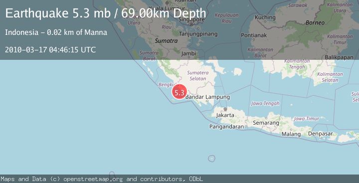
A 5.3 magnitude earthquake struck on SOUTHERN SUMATRA, INDONESIA, at Wed, 17 Mar 2010 04:46:15 GMT. Depth: 69km. Reviewed by EMSC seismologists, this moderate quake occurred at a magnitude type of mb.
Magnitude
5.3
mb
Source
EMSC
Intensity
-
Agency Reports
1 Sources| Source | Magnitude | Depth | Time |
|---|---|---|---|
| EMSCPrimary | 5.3 | 69 km | 15 years ago |
Earthquake Details
AutomaticEvent IDemsc_EMSC_20100317_0000010
Tsunami PotentialNo
Magnitude Typemb
Nearest Places
- Air Manna17.8 km
- Tanjung Manna18.2 km
- Tegrulung18.5 km
- Desa Ketaping18.6 km
- Desa Terulung19.0 km
Comments
Join the discussion about this event.
Latest Earthquakes
2.8Mag
Sumba Region, Indonesia
Time4 minutes ago
Depth8.80 km
SourceBMKG
2.1Mag
Tarapaca, Chile
Time5 minutes ago
Depth115.11 km
SourceVYT (Automatic)
1.7Mag
35 km SSE of King Salmon, Alaska
Time6 minutes ago
Depth9.10 km
SourceUSGS (Automatic)
2.1Mag
Sweden
Time10 minutes ago
Depth0.00 km
SourceVYT (Automatic)
2.2Mag
Minahassa Peninsula, Sulawesi
Time11 minutes ago
Depth24.60 km
SourceBMKG
Nearby Earthquakes
3.1Mag
SOUTHERN SUMATRA, INDONESIA
Time1 month ago
Depth47.00 km
SourceBMKG (Automatic)
5.2Mag
SOUTHERN SUMATRA, INDONESIA
Time13 years ago
Depth80.00 km
SourceEMSC (Automatic)
2.9Mag
SOUTHERN SUMATRA, INDONESIA
Time2 weeks ago
Depth45.00 km
SourceBMKG (Automatic)
5.3Mag
SOUTHERN SUMATRA, INDONESIA
Time7 years ago
Depth68.00 km
SourceEMSC (Automatic)
3.0Mag
SOUTHERN SUMATRA, INDONESIA
Time8 months ago
Depth34.00 km
SourceBMKG (Automatic)