Earthquake SOUTH OF KERMADEC ISLANDS
Mon, 13 Feb 2012 10:12:15 GMT
Time14 years ago
Location
-32.9300, -178.8000
Depth
104.0 KM
Event Summary
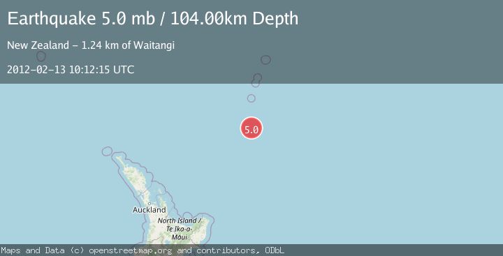
A 5.0 magnitude earthquake struck on SOUTH OF KERMADEC ISLANDS, at Mon, 13 Feb 2012 10:12:15 GMT. Depth: 104km. Reviewed by EMSC seismologists, this moderate quake occurred at a magnitude type of mb.
Magnitude
5.0
mb
Source
EMSC
Intensity
-
Agency Reports
1 Sources| Source | Magnitude | Depth | Time |
|---|---|---|---|
| EMSCPrimary | 5.0 | 104 km | 14 years ago |
Earthquake Details
AutomaticEvent IDemsc_EMSC_20120213_0000046
Tsunami PotentialNo
Magnitude Typemb
Nearest Places
- Star of Bengal Bank63.6 km
- Haungaroa Seamount85.3 km
- Speight Knoll95.4 km
- Oliver Knoll101.1 km
- Kuiwai Seamount107.7 km
Comments
Join the discussion about this event.
Latest Earthquakes
2.7Mag
Halmahera, Indonesia
Time2 minutes ago
Depth15.96 km
SourceBMKG
1.4Mag
14 km NNW of Stanton, Texas
Time4 minutes ago
Depth3.64 km
SourceUSGS (Automatic)
2.6Mag
Java, Indonesia
Time6 minutes ago
Depth12.69 km
SourceBMKG
2.2Mag
Southern Sumatra, Indonesia
Time7 minutes ago
Depth24.35 km
SourceBMKG
1.9Mag
60 km S of Whites City, New Mexico
Time8 minutes ago
Depth5.71 km
SourceUSGS (Automatic)
Nearby Earthquakes
5.1Mag
SOUTH OF KERMADEC ISLANDS
Time2 years ago
Depth41.00 km
SourceNEIC (Automatic)
5.0Mag
SOUTH OF KERMADEC ISLANDS
Time12 years ago
Depth30.00 km
SourceEMSC (Automatic)
5.3Mag
SOUTH OF KERMADEC ISLANDS
Time8 years ago
Depth30.00 km
SourceEMSC (Automatic)
4.0Mag
SOUTH OF KERMADEC ISLANDS
Time2 years ago
Depth35.00 km
SourceNEIC (Automatic)
5.4Mag
SOUTH OF KERMADEC ISLANDS
Time11 years ago
Depth10.00 km
SourceEMSC (Automatic)