Earthquake MORO GULF, MINDANAO, PHILIPPINES
Mon, 03 Sep 2012 06:49:54 GMT
Time13 years ago
Location
6.5700, 123.8700
Depth
40.0 KM
Event Summary
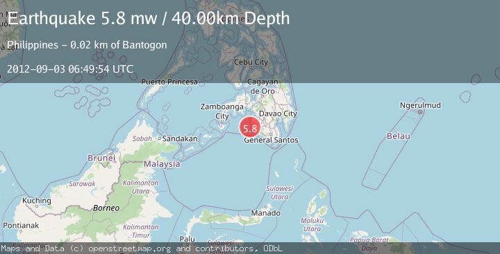
A 5.8 magnitude earthquake struck on MORO GULF, MINDANAO, PHILIPPINES, at Mon, 03 Sep 2012 06:49:54 GMT. Depth: 40km. Reviewed by EMSC seismologists, this moderate quake occurred at a magnitude type of mw.
Magnitude
5.8
mw
Source
EMSC
Intensity
-
Agency Reports
1 Sources| Source | Magnitude | Depth | Time |
|---|---|---|---|
| EMSCPrimary | 5.8 | 40 km | 13 years ago |
Earthquake Details
AutomaticEvent IDemsc_EMSC_20120903_0000016
Tsunami PotentialNo
Magnitude Typemw
Nearest Places
- Donaung Shoals13.7 km
- Nara Point17.2 km
- Pidtaguinan Point17.4 km
- Poral Point18.1 km
- Lebak Island18.3 km
Comments
Join the discussion about this event.
Latest Earthquakes
2.0Mag
Tarapaca, Chile
Time5 hours ago
Depth120.97 km
SourceVYT (Automatic)
0.2Mag
8 km W of Cobb, CA
Time5 hours ago
Depth1.64 km
SourceUSGS (Automatic)
4.6Mag
Mindanao, Philippines
Time6 hours ago
Depth62.27 km
SourceBMKG
2.9Mag
offshore Coquimbo, Chile
Time6 hours ago
Depth80.08 km
SourceVYT (Automatic)
2.4Mag
Central Alaska
Time6 hours ago
Depth328.98 km
SourceVYT (Automatic)
Nearby Earthquakes
3.0Mag
MORO GULF, MINDANAO, PHILIPPINES
Time1 year ago
Depth16.00 km
SourcePIVS (Automatic)
5.0Mag
MORO GULF, MINDANAO, PHILIPPINES
Time13 years ago
Depth10.00 km
SourceEMSC (Automatic)
3.0Mag
MORO GULF, MINDANAO, PHILIPPINES
Time1 month ago
Depth8.00 km
SourcePIVS (Automatic)
5.0Mag
MORO GULF, MINDANAO, PHILIPPINES
Time3 weeks ago
Depth75.60 km
SourceNEIC (Automatic)
3.0Mag
MORO GULF, MINDANAO, PHILIPPINES
Time3 years ago
Depth28.00 km
SourcePIVS (Automatic)