Earthquake MORO GULF, MINDANAO, PHILIPPINES
Sat, 24 Nov 2012 20:28:51 GMT
Time13 years ago
Location
6.5300, 123.5400
Depth
622.0 KM
Event Summary
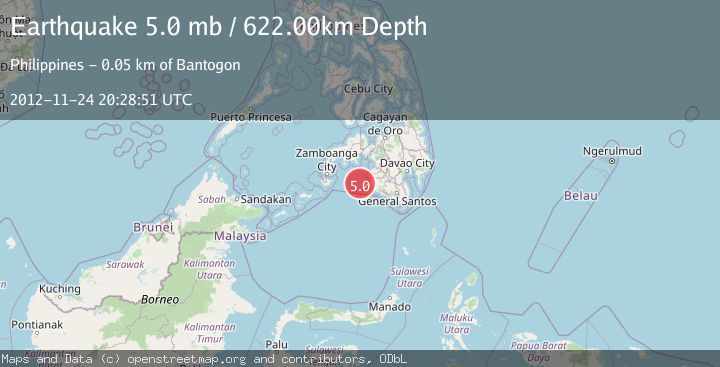
A 5.0 magnitude earthquake struck on MORO GULF, MINDANAO, PHILIPPINES, at Sat, 24 Nov 2012 20:28:51 GMT. Depth: 622km. Reviewed by EMSC seismologists, this moderate quake occurred at a magnitude type of mb.
Magnitude
5.0
mb
Source
EMSC
Intensity
-
Agency Reports
1 Sources| Source | Magnitude | Depth | Time |
|---|---|---|---|
| EMSCPrimary | 5.0 | 622 km | 13 years ago |
Earthquake Details
AutomaticEvent IDemsc_EMSC_20121124_0000076
Tsunami PotentialNo
Magnitude Typemb
Nearest Places
- 49.3 km
- 51.3 km
- 53.1 km
- 53.5 km
- 53.7 km
Comments
Join the discussion about this event.
Latest Earthquakes
2.8Mag
New Mexico
Time21 hours ago
Depth0.00 km
SourceVYT (Automatic)
1.8Mag
Southern Alaska
Time21 hours ago
Depth104.13 km
SourceVYT (Automatic)
1.6Mag
33 km NW of Ester, Alaska
Time21 hours ago
Depth12.50 km
SourceUSGS (Automatic)
2.7Mag
Alaska Peninsula
Time21 hours ago
Depth0.00 km
SourceVYT (Automatic)
0.6Mag
9 km WNW of The Geysers, CA
Time21 hours ago
Depth2.08 km
SourceUSGS (Automatic)
Nearby Earthquakes
5.0Mag
MORO GULF, MINDANAO, PHILIPPINES
Time3 weeks ago
Depth10.00 km
SourceNEIC (Automatic)
5.2Mag
MORO GULF, MINDANAO, PHILIPPINES
Time5 years ago
Depth586.00 km
SourceEMSC (Automatic)
5.2Mag
MORO GULF, MINDANAO, PHILIPPINES
Time15 years ago
Depth591.00 km
SourceEMSC (Automatic)
3.0Mag
MORO GULF, MINDANAO, PHILIPPINES
Time2 weeks ago
Depth16.00 km
SourcePIVS (Automatic)
3.7Mag
MORO GULF, MINDANAO, PHILIPPINES
Time3 weeks ago
Depth5.00 km
SourcePIVS (Automatic)