Earthquake MORO GULF, MINDANAO, PHILIPPINES
Tue, 10 Feb 2026 05:05:37 GMT
Time3 hours ago
Location
6.4900, 123.6200
Depth
16.0 KM
Event Summary
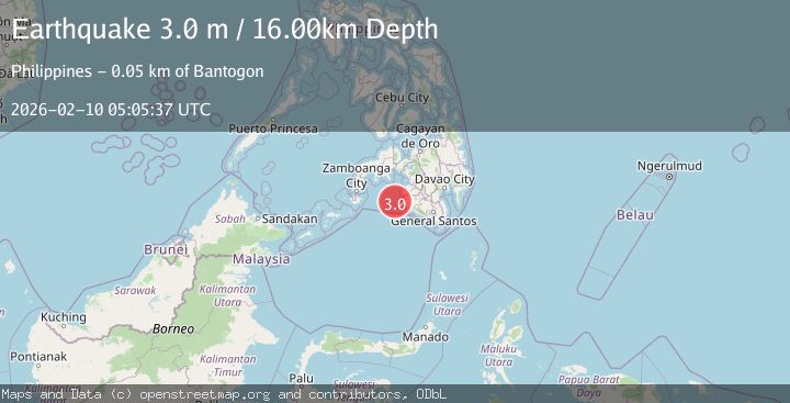
A 3.0 magnitude earthquake struck on MORO GULF, MINDANAO, PHILIPPINES, at Tue, 10 Feb 2026 05:05:37 GMT. Depth: 16km. Reviewed by PIVS seismologists, this minor quake occurred at a magnitude type of m.
Magnitude
3.0
m
Source
PIVS
Intensity
-
Agency Reports
1 Sources| Source | Magnitude | Depth | Time |
|---|---|---|---|
| PIVSPrimary | 3.0 | 16 km | 3 hours ago |
Earthquake Details
AutomaticEvent IDemsc_PIVS_20260210_0000074
Tsunami PotentialNo
Magnitude Typem
Nearest Places
- Donaung Shoals40.6 km
- Nara Point44.5 km
- Donauang Island44.6 km
- Point Pitas44.9 km
- Pidtaguinan Point45.0 km
Comments
Join the discussion about this event.
Latest Earthquakes
2.5Mag
16 km SSE of Pope-Vannoy Landing, Alaska
Time2 hours ago
Depth14.10 km
SourceUSGS (Automatic)
2.4Mag
Sumbawa Region, Indonesia
Time2 hours ago
Depth14.22 km
SourceBMKG
2.3Mag
ISLAND OF HAWAII, HAWAII
Time3 hours ago
Depth30.10 km
SourceHV (Automatic)
3.5Mag
CRETE, GREECE
Time3 hours ago
Depth10.00 km
SourceNOA (Automatic)
1.0Mag
9 km SW of Avenal, CA
Time3 hours ago
Depth3.61 km
SourceUSGS (Automatic)
Nearby Earthquakes
3.5Mag
MORO GULF, MINDANAO, PHILIPPINES
Time1 week ago
Depth19.00 km
SourcePIVS (Automatic)
5.0Mag
MORO GULF, MINDANAO, PHILIPPINES
Time1 week ago
Depth15.00 km
SourcePIVS (Automatic)
3.3Mag
MORO GULF, MINDANAO, PHILIPPINES
Time2 weeks ago
Depth23.00 km
SourcePIVS (Automatic)
3.2Mag
MORO GULF, MINDANAO, PHILIPPINES
Time2 weeks ago
Depth3.00 km
SourcePIVS (Automatic)
3.1Mag
MORO GULF, MINDANAO, PHILIPPINES
Time2 weeks ago
Depth15.00 km
SourcePIVS (Automatic)