Earthquake KEP. TANIMBAR REGION, INDONESIA
Sat, 13 Apr 2013 22:07:27 GMT
Time12 years ago
Location
-6.2600, 131.0900
Depth
90.0 KM
Event Summary
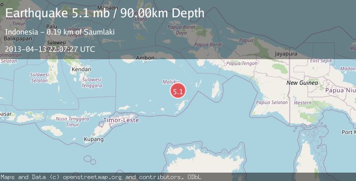
A 5.1 magnitude earthquake struck on KEP. TANIMBAR REGION, INDONESIA, at Sat, 13 Apr 2013 22:07:27 GMT. Depth: 90km. Reviewed by EMSC seismologists, this moderate quake occurred at a magnitude type of mb.
Magnitude
5.1
mb
Source
EMSC
Intensity
-
Agency Reports
1 Sources| Source | Magnitude | Depth | Time |
|---|---|---|---|
| EMSCPrimary | 5.1 | 90 km | 12 years ago |
Earthquake Details
AutomaticEvent IDemsc_EMSC_20130413_0000074
Tsunami PotentialNo
Magnitude Typemb
Nearest Places
- Weber Basin30.6 km
- Kepulauan Selatan Daya66.2 km
- Nuhututul70.5 km
- Pulau Kalbur70.9 km
- Melwuarniweyar71.4 km
Comments
Join the discussion about this event.
Latest Earthquakes
2.4Mag
Sulawesi, Indonesia
Time9 minutes ago
Depth4.26 km
SourceBMKG
2.2Mag
Northern Sumatra, Indonesia
Time13 minutes ago
Depth8.25 km
SourceBMKG
2.5Mag
CRETE, GREECE
Time20 minutes ago
Depth17.50 km
SourceNOA (Automatic)
2.5Mag
Tarapaca, Chile
Time24 minutes ago
Depth112.55 km
SourceVYT (Automatic)
2.0Mag
ALBANIA
Time25 minutes ago
Depth15.00 km
SourceIGEO (Automatic)
Nearby Earthquakes
3.4Mag
Tanimbar Islands Region, Indonesia
Time2 days ago
Depth161.23 km
SourceBMKG
5.2Mag
KEP. TANIMBAR REGION, INDONESIA
Time8 years ago
Depth73.00 km
SourceEMSC (Automatic)
3.5Mag
KEP. TANIMBAR REGION, INDONESIA
Time2 weeks ago
Depth14.00 km
SourceBMKG (Automatic)
3.9Mag
Kepulauan Tanimbar, Indonesia
Time6 days ago
Depth134.52 km
SourceVYT (Automatic)
6.7Mag
KEP. TANIMBAR REGION, INDONESIA
Time7 months ago
Depth65.90 km
SourceEMSC (Automatic)