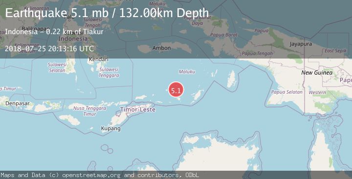
Earthquake KEPULAUAN BABAR, INDONESIA
Wed, 25 Jul 2018 20:13:16 GMT
Time7 years ago
Location
-7.0700, 129.4800
Depth
132.0 KM
Event Summary
A 5.1 magnitude earthquake struck on KEPULAUAN BABAR, INDONESIA, at Wed, 25 Jul 2018 20:13:16 GMT. Depth: 132km. Reviewed by EMSC seismologists, this moderate quake occurred at a magnitude type of mb.
Magnitude
5.1
mb
Source
EMSC
Intensity
-
Agency Reports
1 Sources| Source | Magnitude | Depth | Time |
|---|---|---|---|
| EMSCPrimary | 5.1 | 132 km | 7 years ago |
Earthquake Details
AutomaticEvent IDemsc_EMSC_20180725_0000421
Tsunami PotentialNo
Magnitude Typemb
Nearest Places
- Damar Ridge26.4 km
- Tanjung Sifanandrierna34.5 km
- Wotai35.1 km
- Bumai35.6 km
- Watludan36.8 km
Comments
Join the discussion about this event.
Latest Earthquakes
0.3Mag
10 km WNW of The Geysers, CA
Time10 hours ago
Depth2.50 km
SourceUSGS (Automatic)
2.5Mag
Central Alaska
Time10 hours ago
Depth112.55 km
SourceVYT (Automatic)
2.3Mag
Antofagasta, Chile
Time10 hours ago
Depth58.47 km
SourceVYT (Automatic)
1.4Mag
Southeastern Alaska
Time10 hours ago
Depth0.00 km
SourceVYT (Automatic)
1.8Mag
Southern Alaska
Time10 hours ago
Depth10.00 km
SourceVYT (Automatic)
Nearby Earthquakes
3.6Mag
Banda Sea
Time1 week ago
Depth179.97 km
SourceBMKG (Automatic)
5.0Mag
KEPULAUAN BABAR, INDONESIA
Time5 years ago
Depth117.00 km
SourceEMSC (Automatic)
5.1Mag
KEPULAUAN BABAR, INDONESIA
Time5 years ago
Depth142.00 km
SourceEMSC (Automatic)
5.1Mag
KEPULAUAN BABAR, INDONESIA
Time15 years ago
Depth163.00 km
SourceEMSC (Automatic)
4.7Mag
Banda Sea
Time1 week ago
Depth182.13 km
SourceVYT (Automatic)