Earthquake SOUTH OF KERMADEC ISLANDS
Thu, 06 Feb 2020 10:20:30 GMT
Time6 years ago
Location
-32.1000, -178.8900
Depth
10.0 KM
Event Summary
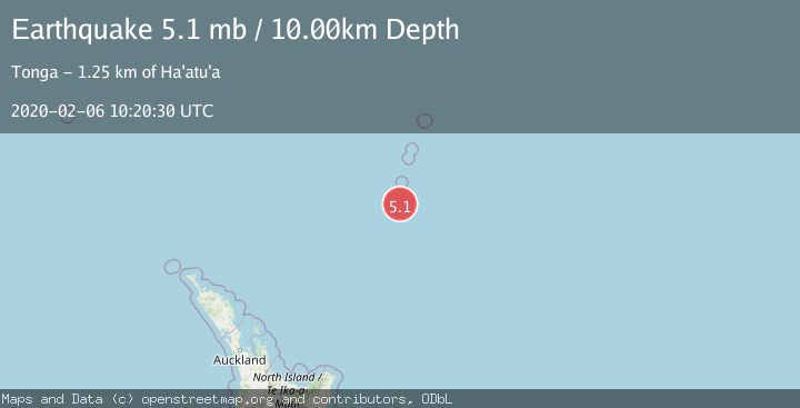
A 5.1 magnitude earthquake struck on SOUTH OF KERMADEC ISLANDS, at Thu, 06 Feb 2020 10:20:30 GMT. Depth: 10km. Reviewed by EMSC seismologists, this moderate quake occurred at a magnitude type of mb.
Magnitude
5.1
mb
Source
EMSC
Intensity
-
Agency Reports
1 Sources| Source | Magnitude | Depth | Time |
|---|---|---|---|
| EMSCPrimary | 5.1 | 10 km | 6 years ago |
Earthquake Details
AutomaticEvent IDemsc_EMSC_20200206_0000082
Tsunami PotentialNo
Magnitude Typemb
Nearest Places
- Star of Bengal Bank40.4 km
- Speight Knoll73.1 km
- L'Esperance Rock74.1 km
- Oliver Knoll80.5 km
- Havre Rock84.0 km
Comments
Join the discussion about this event.
Latest Earthquakes
4.2Mag
Kepulauan Talaud, Indonesia
Time7 minutes ago
Depth85.57 km
SourceVYT (Automatic)
2.0Mag
Antofagasta, Chile
Time9 minutes ago
Depth127.32 km
SourceVYT (Automatic)
2.0Mag
Southern California
Time18 minutes ago
Depth14.40 km
SourceVYT (Automatic)
3.0Mag
Potosi, Bolivia
Time20 minutes ago
Depth188.11 km
SourceVYT (Automatic)
1.3Mag
9 km WNW of The Geysers, CA
Time21 minutes ago
Depth2.36 km
SourceUSGS (Automatic)
Nearby Earthquakes
5.0Mag
KERMADEC ISLANDS REGION
Time2 years ago
Depth10.00 km
SourceEMSC (Automatic)
5.1Mag
KERMADEC ISLANDS REGION
Time14 years ago
Depth72.00 km
SourceEMSC (Automatic)
5.2Mag
KERMADEC ISLANDS REGION
Time2 years ago
Depth10.00 km
SourceEMSC (Automatic)
5.3Mag
SOUTH OF KERMADEC ISLANDS
Time4 years ago
Depth66.00 km
SourceEMSC (Automatic)
6.9Mag
KERMADEC ISLANDS REGION
Time7 years ago
Depth10.00 km
SourceEMSC (Automatic)