Earthquake NORTH OF HALMAHERA, INDONESIA
Mon, 03 Feb 2025 21:35:52 GMT
Time1 year ago
Location
3.0006, 128.1866
Depth
110.6 KM
Event Summary
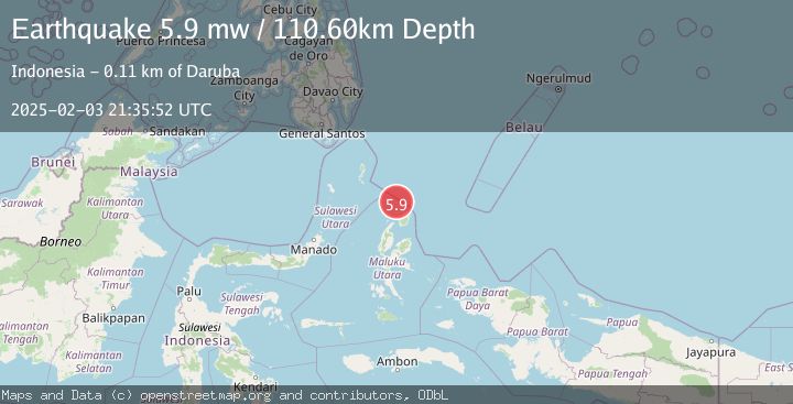
A 5.9 magnitude earthquake struck on NORTH OF HALMAHERA, INDONESIA, at Mon, 03 Feb 2025 21:35:52 GMT. Depth: 110.6km. Reviewed by EMSC seismologists, this moderate quake occurred at a magnitude type of mw.
Magnitude
5.9
mw
Source
EMSC
Intensity
-
Agency Reports
1 Sources| Source | Magnitude | Depth | Time |
|---|---|---|---|
| EMSCPrimary | 5.9 | 111 km | 1 year ago |
Earthquake Details
AutomaticEvent IDemsc_EMSC_20250203_0000418
Tsunami PotentialNo
Magnitude Typemw
Nearest Places
- Morotai Basin20.7 km
- Tanjung Padangi54.7 km
- Tanjung Berri Berri54.9 km
- Padangi56.1 km
- Bere Bere56.2 km
Comments
Join the discussion about this event.
Latest Earthquakes
4.5Mag
North of Halmahera, Indonesia
Time7 minutes ago
Depth10.00 km
SourceBMKG
3.1Mag
Bali Region, Indonesia
Time13 minutes ago
Depth19.14 km
SourceBMKG
2.7Mag
Coquimbo, Chile
Time15 minutes ago
Depth14.16 km
SourceVYT (Automatic)
1.7Mag
Southeastern Alaska
Time17 minutes ago
Depth5.98 km
SourceVYT (Automatic)
2.1Mag
Tarapaca, Chile
Time18 minutes ago
Depth110.35 km
SourceVYT (Automatic)
Nearby Earthquakes
3.7Mag
NORTH OF HALMAHERA, INDONESIA
Time1 month ago
Depth155.00 km
SourceBMKG (Automatic)
5.4Mag
NORTH OF HALMAHERA, INDONESIA
Time10 years ago
Depth121.00 km
SourceEMSC (Automatic)
6.1Mag
NORTH OF HALMAHERA, INDONESIA
Time15 years ago
Depth113.00 km
SourceEMSC (Automatic)
4.1Mag
North of Halmahera, Indonesia
Time2 weeks ago
Depth5.50 km
SourceBMKG (Automatic)
6.4Mag
HALMAHERA, INDONESIA
Time5 years ago
Depth105.00 km
SourceEMSC (Automatic)