Earthquake NORTH ISLAND OF NEW ZEALAND
Wed, 04 Feb 2026 02:53:35 GMT
Time11 hours ago
Location
-40.4387, 175.8159
Depth
20.6 KM
Event Summary
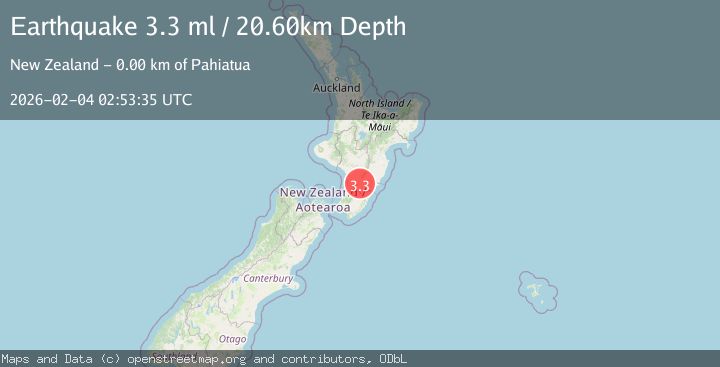
A 3.3 magnitude earthquake struck on NORTH ISLAND OF NEW ZEALAND, at Wed, 04 Feb 2026 02:53:35 GMT. Depth: 20.6km. Reviewed by GNS seismologists, this minor quake occurred at a magnitude type of ml.
Magnitude
3.3
ml
Source
GNS
Intensity
-
Agency Reports
1 Sources| Source | Magnitude | Depth | Time |
|---|---|---|---|
| GNSPrimary | 3.3 | 21 km | 11 hours ago |
Earthquake Details
AutomaticEvent IDemsc_GNS_20260204_0000039
Tsunami PotentialNo
Magnitude Typeml
Nearest Places
- Mangamutu1.2 km
- Pahiatua Station1.3 km
- Pahiatua1.9 km
- Ti Toki Farm2.2 km
- Maru Farm2.3 km
Comments
Join the discussion about this event.
Latest Earthquakes
2.5Mag
Java, Indonesia
Time12 hours ago
Depth24.61 km
SourceBMKG (Automatic)
1.4Mag
3 km ESE of San Ramon, CA
Time12 hours ago
Depth7.24 km
SourceUSGS (Automatic)
1.5Mag
SPAIN
Time12 hours ago
Depth0.00 km
SourceIGN (Automatic)
0.7Mag
86 km NNW of Karluk, Alaska
Time12 hours ago
Depth5.00 km
SourceUSGS (Automatic)
2.5Mag
61 km W of Tyonek, Alaska
Time12 hours ago
Depth117.10 km
SourceUSGS (Automatic)
Nearby Earthquakes
3.0Mag
NORTH ISLAND OF NEW ZEALAND
Time5 days ago
Depth16.90 km
SourceGNS (Automatic)
3.7Mag
NORTH ISLAND OF NEW ZEALAND
Time1 week ago
Depth22.70 km
SourceGNS (Automatic)
3.0Mag
NORTH ISLAND OF NEW ZEALAND
Time1 week ago
Depth21.50 km
SourceGNS (Automatic)
3.3Mag
NORTH ISLAND OF NEW ZEALAND
Time6 days ago
Depth181.60 km
SourceGNS (Automatic)
3.1Mag
NORTH ISLAND OF NEW ZEALAND
Time2 days ago
Depth10.60 km
SourceGNS (Automatic)