Earthquake 3 km ESE of San Ramon, CA
Wed, 04 Feb 2026 02:36:46 GMT
Time13 hours ago
Location
37.7687, -121.9475
Depth
7.2 KM
Event Summary
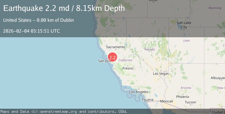
A 2.2 magnitude earthquake struck on 3 km ESE of San Ramon, CA, at Wed, 04 Feb 2026 02:36:46 GMT. Depth: 7.23999977111816km. Reviewed by USGS seismologists, this minor quake occurred at a magnitude type of md.
Magnitude
2.2
md
Source
USGS
Intensity
-
Agency Reports
2 Sources| Source | Magnitude | Depth | Time |
|---|---|---|---|
| USGSPrimary | 2.2 | 8 km | 13 hours ago |
| NC | 2.2 | 8 km | 13 hours ago |
Earthquake Details
AutomaticEvent IDusgs_nc75308052
Tsunami PotentialNo
Magnitude Typemd
Nearest Places
Comments
Join the discussion about this event.
Latest Earthquakes
0.6Mag
5 km SW of Idyllwild, CA
Time11 minutes ago
Depth16.76 km
SourceUSGS (Automatic)
2.1Mag
Flores Region, Indonesia
Time15 minutes ago
Depth97.78 km
SourceBMKG (Automatic)
2.1Mag
12 km NW of Fishhook, Alaska
Time18 minutes ago
Depth22.90 km
SourceUSGS (Automatic)
2.9Mag
Bali Sea
Time31 minutes ago
Depth16.06 km
SourceBMKG (Automatic)
2.7Mag
West Papua Region, Indonesia
Time37 minutes ago
Depth10.00 km
SourceBMKG (Automatic)
Nearby Earthquakes
1.6Mag
3 km ESE of San Ramon, CA
Time1 week ago
Depth7.43 km
SourceUSGS (Automatic)
1.6Mag
3 km ESE of San Ramon, CA
Time1 week ago
Depth7.67 km
SourceUSGS (Automatic)
1.6Mag
3 km ESE of San Ramon, CA
Time16 hours ago
Depth0.08 km
SourceUSGS (Automatic)
1.7Mag
3 km E of San Ramon, CA
Time2 days ago
Depth7.52 km
SourceUSGS (Automatic)
2.5Mag
SAN FRANCISCO BAY AREA, CALIF.
Time19 hours ago
Depth6.60 km
SourceNC (Automatic)