Earthquake 61 km W of Tyonek, Alaska
Wed, 04 Feb 2026 02:23:27 GMT
Time12 hours ago
Location
61.0230, -152.2760
Depth
117.1 KM
Event Summary
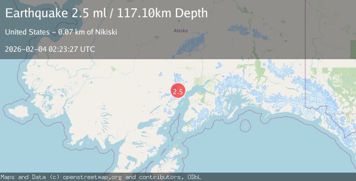
A 2.5 magnitude earthquake struck on 61 km W of Tyonek, Alaska, at Wed, 04 Feb 2026 02:23:27 GMT. Depth: 117.1km. Reviewed by USGS seismologists, this minor quake occurred at a magnitude type of ml.
Magnitude
2.5
ml
Source
USGS
Intensity
-
Agency Reports
1 Sources| Source | Magnitude | Depth | Time |
|---|---|---|---|
| USGSPrimary | 2.5 | 117 km | 12 hours ago |
Earthquake Details
AutomaticEvent IDusgs_ak2026ckplal
Tsunami PotentialNo
Magnitude Typeml
Nearest Places
- Blockade Glacier1.4 km
- Blockade Lake12.6 km
- McArthur Glacier13.3 km
- Aleutian Range16.3 km
- Ch'akajabena Mountain17.3 km
Comments
Join the discussion about this event.
Latest Earthquakes
1.9Mag
88 km WNW of Yakutat, Alaska
Time12 hours ago
Depth19.80 km
SourceUSGS (Automatic)
2.8Mag
11 km SSE of Funny River, Alaska
Time13 hours ago
Depth46.80 km
SourceUSGS (Automatic)
5.3Mag
SOUTH OF FIJI ISLANDS
Time13 hours ago
Depth10.00 km
SourceNEIC (Automatic)
1.5Mag
SPAIN
Time13 hours ago
Depth0.00 km
SourceIGN (Automatic)
1.1Mag
3 km SSE of The Geysers, CA
Time13 hours ago
Depth1.00 km
SourceUSGS (Automatic)
Nearby Earthquakes
2.2Mag
60 km W of Tyonek, Alaska
Time1 week ago
Depth113.30 km
SourceUSGS (Automatic)
1.3Mag
67 km W of Tyonek, Alaska
Time1 week ago
Depth109.90 km
SourceUSGS (Automatic)
2.2Mag
56 km W of Tyonek, Alaska
Time1 week ago
Depth110.90 km
SourceUSGS (Automatic)
1.8Mag
66 km WNW of Tyonek, Alaska
Time1 week ago
Depth13.70 km
SourceUSGS (Automatic)
0.8Mag
57 km WNW of Tyonek, Alaska
Time1 week ago
Depth115.90 km
SourceUSGS (Automatic)