Earthquake NEAR COAST OF SOUTHERN PERU
Mon, 16 Feb 2026 03:59:27 GMT
Time2 days ago
Location
-17.0200, -71.5300
Depth
76.0 KM
Event Summary
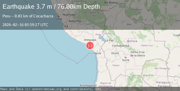
A 3.7 magnitude earthquake struck on NEAR COAST OF SOUTHERN PERU, at Mon, 16 Feb 2026 03:59:27 GMT. Depth: 76km. Reviewed by LIM seismologists, this minor quake occurred at a magnitude type of m.
Magnitude
3.7
m
Source
LIM
Intensity
-
Agency Reports
1 Sources| Source | Magnitude | Depth | Time |
|---|---|---|---|
| LIMPrimary | 3.7 | 76 km | 2 days ago |
Earthquake Details
AutomaticEvent IDemsc_LIM_20260216_0000057
Tsunami PotentialNo
Magnitude Typem
Nearest Places
- Carrizal0.9 km
- Pan de Azúcar1.1 km
- Cerro Pan de Azúcar1.5 km
- La Estrella2.2 km
- Len2.6 km
Comments
Join the discussion about this event.
Latest Earthquakes
2.8Mag
Sunda Strait, Indonesia
Time10 minutes ago
Depth3.61 km
SourceBMKG
3.6Mag
south of Alaska
Time11 minutes ago
Depth10.00 km
SourceVYT (Automatic)
1.2Mag
Central Alaska
Time13 minutes ago
Depth68.97 km
SourceVYT (Automatic)
1.2Mag
Washington
Time15 minutes ago
Depth0.00 km
SourceVYT (Automatic)
0.8Mag
10 km WNW of The Geysers, CA
Time21 minutes ago
Depth1.96 km
SourceUSGS (Automatic)
Nearby Earthquakes
4.2Mag
NEAR COAST OF SOUTHERN PERU
Time1 month ago
Depth74.00 km
SourceLIM (Automatic)
4.0Mag
NEAR COAST OF SOUTHERN PERU
Time4 years ago
Depth53.00 km
SourceLIM (Automatic)
5.2Mag
SOUTHERN PERU
Time20 years ago
Depth80.00 km
SourceEMSC (Automatic)
3.6Mag
near the coast of southern Peru
Time5 days ago
Depth134.52 km
SourceVYT (Automatic)
5.0Mag
SOUTHERN PERU
Time3 years ago
Depth20.00 km
SourceEMSC (Automatic)