Earthquake NORTHERN CALIFORNIA
Sat, 14 Feb 2026 12:55:45 GMT
Time4 days ago
Location
38.7932, -122.7525
Depth
0.5 KM
Event Summary
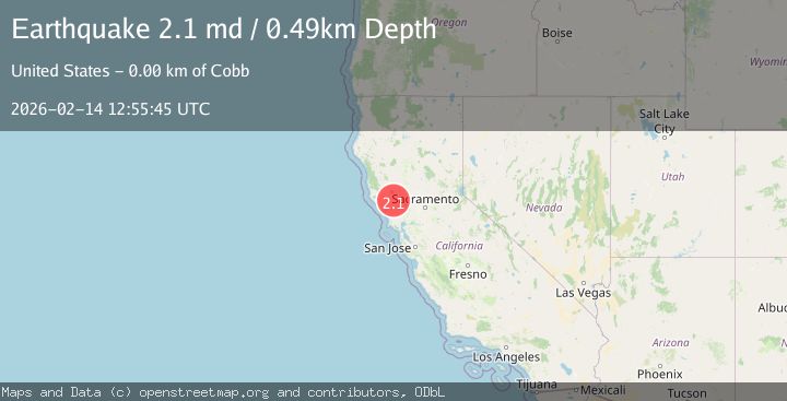
A 2.1 magnitude earthquake struck on NORTHERN CALIFORNIA, at Sat, 14 Feb 2026 12:55:45 GMT. Depth: 0.5km. Reviewed by NC seismologists, this minor quake occurred at a magnitude type of md.
Magnitude
2.1
md
Source
NC
Intensity
-
Agency Reports
2 Sources| Source | Magnitude | Depth | Time |
|---|---|---|---|
| NCPrimary | 2.1 | 1 km | 4 days ago |
| USGS | 2.1 | 0 km | 4 days ago |
Earthquake Details
AutomaticEvent IDemsc_NC_20260214_0000211
Tsunami PotentialNo
Magnitude Typemd
Nearest Places
- Smudgeo Number 1 Heliport0.9 km
- Burned Mountain1.8 km
- Cobb Mountain1.9 km
- Anderson-Bull Spring1.9 km
- The Geysers2.0 km
Comments
Join the discussion about this event.
Latest Earthquakes
2.8Mag
Sunda Strait, Indonesia
Time7 minutes ago
Depth3.61 km
SourceBMKG
3.6Mag
south of Alaska
Time7 minutes ago
Depth10.00 km
SourceVYT (Automatic)
1.2Mag
Central Alaska
Time9 minutes ago
Depth68.97 km
SourceVYT (Automatic)
1.2Mag
Washington
Time11 minutes ago
Depth0.00 km
SourceVYT (Automatic)
0.8Mag
10 km WNW of The Geysers, CA
Time18 minutes ago
Depth1.96 km
SourceUSGS (Automatic)
Nearby Earthquakes
1.2Mag
2 km N of The Geysers, CA
Time2 days ago
Depth-0.46 km
SourceUSGS (Automatic)
2.0Mag
NORTHERN CALIFORNIA
Time1 month ago
Depth0.80 km
SourceNC (Automatic)
1.0Mag
2 km N of The Geysers, CA
Time3 weeks ago
Depth1.54 km
SourceUSGS (Automatic)
1.1Mag
2 km N of The Geysers, CA
Time6 days ago
Depth-0.28 km
SourceUSGS (Automatic)
0.3Mag
2 km NNE of The Geysers, CA
Time2 weeks ago
Depth2.07 km
SourceUSGS (Automatic)