Earthquake HALMAHERA, INDONESIA
Fri, 02 Mar 2012 17:52:29 GMT
Time13 years ago
Location
1.8600, 127.0800
Depth
61.0 KM
Event Summary
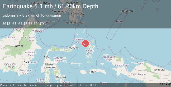
A 5.1 magnitude earthquake struck on HALMAHERA, INDONESIA, at Fri, 02 Mar 2012 17:52:29 GMT. Depth: 61km. Reviewed by NEIC seismologists, this moderate quake occurred at a magnitude type of mb.
Magnitude
5.1
mb
Source
NEIC
Intensity
-
Agency Reports
1 Sources| Source | Magnitude | Depth | Time |
|---|---|---|---|
| NEICPrimary | 5.1 | 61 km | 13 years ago |
Earthquake Details
AutomaticEvent IDemsc_NEIC_20120302_0000059
Tsunami PotentialNo
Magnitude Typemb
Nearest Places
- Nyi38.2 km
- Nusa Sidanga50.0 km
- Nusa Nyaolaka50.3 km
- Nusa Sosota50.7 km
- Kepulauan Loloda Selatan51.4 km
Comments
Join the discussion about this event.
Latest Earthquakes
1.0Mag
Southeastern Alaska
Time6 minutes ago
Depth0.00 km
SourceVYT (Automatic)
3.5Mag
COOK STRAIT, NEW ZEALAND
Time7 minutes ago
Depth75.30 km
SourceGNS (Automatic)
2.5Mag
Seram, Indonesia
Time9 minutes ago
Depth21.28 km
SourceBMKG
2.6Mag
West Papua Region, Indonesia
Time11 minutes ago
Depth17.35 km
SourceBMKG
5.0Mag
CENTRAL MID-ATLANTIC RIDGE
Time12 minutes ago
Depth10.00 km
SourceEMSC (Automatic)
Nearby Earthquakes
5.0Mag
HALMAHERA, INDONESIA
Time17 years ago
Depth89.00 km
SourceEMSC (Automatic)
3.1Mag
Halmahera, Indonesia
Time1 week ago
Depth30.42 km
SourceBMKG (Automatic)
5.0Mag
HALMAHERA, INDONESIA
Time8 years ago
Depth80.00 km
SourceEMSC (Automatic)
5.2Mag
HALMAHERA, INDONESIA
Time8 years ago
Depth110.00 km
SourceEMSC (Automatic)
4.0Mag
HALMAHERA, INDONESIA
Time1 year ago
Depth32.00 km
SourceBMKG (Automatic)