Earthquake Southeastern Alaska
Thu, 12 Feb 2026 14:14:54 GMT
Time6 days ago
Location
60.5043, -140.1630
Depth
0.0 KM
Event Summary
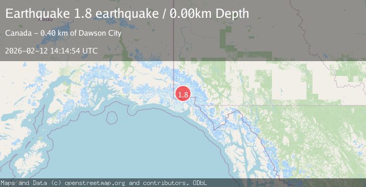
A 1.8 magnitude earthquake struck on Southeastern Alaska, at Thu, 12 Feb 2026 14:14:54 GMT. Depth: 0km. Reviewed by VYT seismologists, this minor quake occurred at a magnitude type of earthquake.
Magnitude
1.8
earthquake
Source
VYT
Intensity
-
Agency Reports
1 Sources| Source | Magnitude | Depth | Time |
|---|---|---|---|
| VYTPrimary | 1.8 | 0 km | 6 days ago |
Earthquake Details
AutomaticEvent IDvyt_2pcvphm4edgey
Tsunami PotentialNo
Magnitude Typeearthquake
Nearest Places
- Marker Lake9.7 km
- McArthur Peak11.7 km
- Mount Logan15.0 km
- Mount King George20.8 km
- Corwin Cliffs24.4 km
Comments
Join the discussion about this event.
Latest Earthquakes
1.6Mag
54 km WNW of Toyah, Texas
Time1 hour ago
Depth0.00 km
SourceUSGS (Automatic)
2.2Mag
West Papua Region, Indonesia
Time1 hour ago
Depth10.00 km
SourceBMKG
2.4Mag
Tarapaca, Chile
Time1 hour ago
Depth109.25 km
SourceVYT (Automatic)
2.8Mag
Minahassa Peninsula, Sulawesi
Time1 hour ago
Depth8.76 km
SourceBMKG
0.6Mag
Southern Alaska
Time1 hour ago
Depth7.20 km
SourceVYT (Automatic)
Nearby Earthquakes
3.0Mag
SOUTHERN YUKON TERRITORY, CANADA
Time1 month ago
Depth5.00 km
SourceNEIC (Automatic)
1.8Mag
Southeastern Alaska
Time1 day ago
Depth13.79 km
SourceVYT (Automatic)
3.0Mag
SOUTHERN YUKON TERRITORY, CANADA
Time1 month ago
Depth5.00 km
SourceNEIC (Automatic)
2.5Mag
SOUTHERN YUKON TERRITORY, CANADA
Time1 month ago
Depth5.00 km
SourceNEIC (Automatic)
3.5Mag
SOUTHERN YUKON TERRITORY, CANADA
Time1 month ago
Depth5.00 km
SourceNEIC (Automatic)