Earthquake Southeastern Alaska
Mon, 16 Feb 2026 00:24:35 GMT
Time2 days ago
Location
60.5397, -140.1247
Depth
13.7 KM
Event Summary
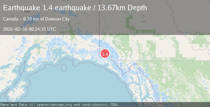
A 1.4 magnitude earthquake struck on Southeastern Alaska, at Mon, 16 Feb 2026 00:24:35 GMT. Depth: 13.671875km. Reviewed by VYT seismologists, this minor quake occurred at a magnitude type of earthquake.
Magnitude
1.4
earthquake
Source
VYT
Intensity
-
Agency Reports
1 Sources| Source | Magnitude | Depth | Time |
|---|---|---|---|
| VYTPrimary | 1.4 | 14 km | 2 days ago |
Earthquake Details
AutomaticEvent IDvyt_2r7u7n1zhve1n
Tsunami PotentialNo
Magnitude Typeearthquake
Nearest Places
- Marker Lake8.1 km
- McArthur Peak8.8 km
- Mount Logan15.6 km
- Mount King George18.5 km
- Mount Queen Mary23.9 km
Comments
Join the discussion about this event.
Latest Earthquakes
5.0Mag
Andreanof Islands, Aleutian Islands, Alaska
Time14 hours ago
Depth32.84 km
SourceVYT (Automatic)
4.9Mag
Andreanof Islands, Aleutian Islands, Alaska
Time14 hours ago
Depth18.92 km
SourceVYT (Automatic)
0.8Mag
85 km NW of Karluk, Alaska
Time14 hours ago
Depth5.00 km
SourceUSGS (Automatic)
3.0Mag
Northern Molucca Sea
Time14 hours ago
Depth29.21 km
SourceBMKG
1.6Mag
Southern Alaska
Time14 hours ago
Depth20.75 km
SourceVYT (Automatic)
Nearby Earthquakes
3.0Mag
SOUTHERN YUKON TERRITORY, CANADA
Time1 month ago
Depth4.80 km
SourceNEIC (Automatic)
1.5Mag
Southeastern Alaska
Time1 day ago
Depth0.12 km
SourceVYT (Automatic)
2.6Mag
SOUTHERN YUKON TERRITORY, CANADA
Time1 month ago
Depth5.00 km
SourceNEIC (Automatic)
3.1Mag
112 km NNW of Yakutat, Alaska
Time1 week ago
Depth11.30 km
SourceUSGS
3.0Mag
Southeastern Alaska
Time2 days ago
Depth0.00 km
SourceVYT (Automatic)