Earthquake SOUTHERN ALASKA
Mon, 19 Jan 2026 21:47:47 GMT
Time1 month ago
Location
61.7877, -149.5027
Depth
32.2 KM
Event Summary
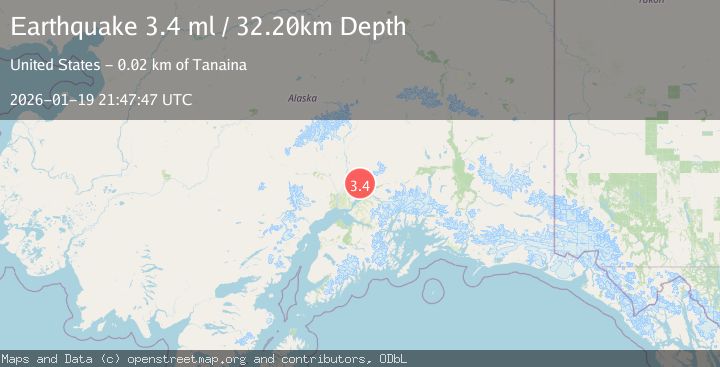
A 3.4 magnitude earthquake struck on SOUTHERN ALASKA, at Mon, 19 Jan 2026 21:47:47 GMT. Depth: 32.2km. Reviewed by NEIC seismologists, this minor quake occurred at a magnitude type of ml.
Magnitude
3.4
ml
Source
NEIC
Intensity
-
Agency Reports
1 Sources| Source | Magnitude | Depth | Time |
|---|---|---|---|
| NEICPrimary | 3.4 | 32 km | 1 month ago |
Earthquake Details
AutomaticEvent IDemsc_NEIC_20260119_0000302
Tsunami PotentialNo
Magnitude Typeml
Nearest Places
- Francie Creek2.6 km
- Shorty Creek2.9 km
- Wet Gulch3.2 km
- East Fork Sawmill Creek3.2 km
- West Fork Sawmill Creek3.2 km
Comments
Join the discussion about this event.
Latest Earthquakes
4.5Mag
North of Halmahera, Indonesia
Time10 minutes ago
Depth10.00 km
SourceBMKG
4.1Mag
WESTERN XIZANG
Time11 minutes ago
Depth188.80 km
SourceNDI (Automatic)
3.1Mag
Bali Region, Indonesia
Time17 minutes ago
Depth19.14 km
SourceBMKG
2.7Mag
Coquimbo, Chile
Time18 minutes ago
Depth14.16 km
SourceVYT (Automatic)
1.7Mag
Southeastern Alaska
Time20 minutes ago
Depth5.98 km
SourceVYT (Automatic)
Nearby Earthquakes
3.0Mag
SOUTHERN ALASKA
Time9 years ago
Depth34.00 km
SourceNEIR (Automatic)
3.0Mag
SOUTHERN ALASKA
Time3 years ago
Depth35.00 km
SourceNEIC (Automatic)
2.1Mag
Southern Alaska
Time5 days ago
Depth28.32 km
SourceVYT (Automatic)
4.0Mag
SOUTHERN ALASKA
Time3 years ago
Depth36.00 km
SourceNEIC (Automatic)
2.5Mag
21 km WNW of Fishhook, Alaska
Time1 week ago
Depth32.90 km
SourceUSGS (Automatic)