Earthquake MORO GULF, MINDANAO, PHILIPPINES
Wed, 28 Jan 2026 14:36:34 GMT
Time3 weeks ago
Location
6.3453, 123.9032
Depth
10.0 KM
Event Summary
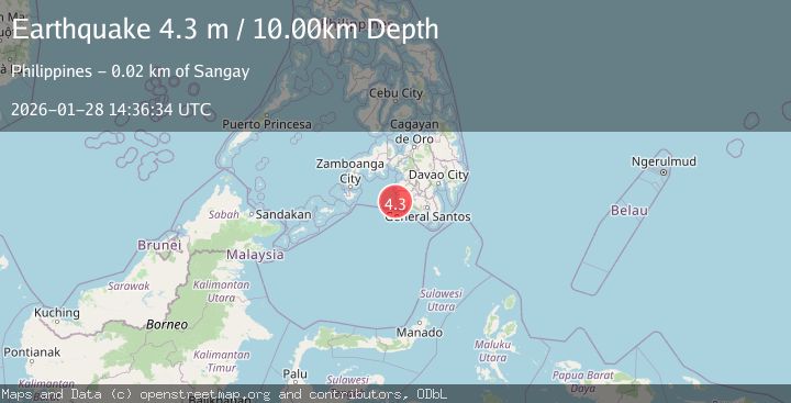
A 4.3 magnitude earthquake struck on MORO GULF, MINDANAO, PHILIPPINES, at Wed, 28 Jan 2026 14:36:34 GMT. Depth: 10km. Reviewed by NEIC seismologists, this light quake occurred at a magnitude type of m.
Magnitude
4.3
m
Source
NEIC
Intensity
-
Agency Reports
1 Sources| Source | Magnitude | Depth | Time |
|---|---|---|---|
| NEICPrimary | 4.3 | 10 km | 3 weeks ago |
Earthquake Details
AutomaticEvent IDemsc_NEIC_20260128_0000281
Tsunami PotentialNo
Magnitude Typem
Nearest Places
- Sangay Point17.2 km
- Kiponget17.3 km
- Tuna Point17.4 km
- Heart Break Beach17.4 km
- Marquilo17.5 km
Comments
Join the discussion about this event.
Latest Earthquakes
4.6Mag
Mindanao, Philippines
Time4 hours ago
Depth62.27 km
SourceBMKG
2.9Mag
offshore Coquimbo, Chile
Time5 hours ago
Depth80.08 km
SourceVYT (Automatic)
2.4Mag
Central Alaska
Time5 hours ago
Depth328.98 km
SourceVYT (Automatic)
2.0Mag
FRANCE
Time5 hours ago
Depth9.60 km
SourceReNaSS (Automatic)
3.3Mag
Banda Sea
Time5 hours ago
Depth176.55 km
SourceBMKG
Nearby Earthquakes
4.6Mag
Mindanao, Philippines
Time4 hours ago
Depth62.27 km
SourceBMKG
4.8Mag
23 km WSW of Sangay, Philippines
Time0 months ago
Depth10.00 km
SourceUSGS
5.0Mag
MORO GULF, MINDANAO, PHILIPPINES
Time9 years ago
Depth10.00 km
SourceEMSC (Automatic)
6.0Mag
MORO GULF, MINDANAO, PHILIPPINES
Time21 years ago
Depth33.00 km
SourceEMSC (Automatic)
3.2Mag
MORO GULF, MINDANAO, PHILIPPINES
Time2 weeks ago
Depth23.00 km
SourcePIVS (Automatic)