Earthquake MORO GULF, MINDANAO, PHILIPPINES
Sat, 31 Jan 2026 21:54:12 GMT
Time4 days ago
Location
6.3700, 123.8200
Depth
23.0 KM
Event Summary
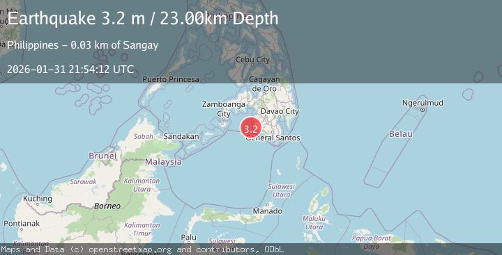
A 3.2 magnitude earthquake struck on MORO GULF, MINDANAO, PHILIPPINES, at Sat, 31 Jan 2026 21:54:12 GMT. Depth: 23km. Reviewed by PIVS seismologists, this minor quake occurred at a magnitude type of m.
Magnitude
3.2
m
Source
PIVS
Intensity
-
Agency Reports
1 Sources| Source | Magnitude | Depth | Time |
|---|---|---|---|
| PIVSPrimary | 3.2 | 23 km | 4 days ago |
Earthquake Details
AutomaticEvent IDemsc_PIVS_20260131_0000339
Tsunami PotentialNo
Magnitude Typem
Nearest Places
- Donauang Island24.5 km
- Sangay Point24.7 km
- Donaung Shoals25.2 km
- Danawan Point25.3 km
- Sugco25.4 km
Comments
Join the discussion about this event.
Latest Earthquakes
3.7Mag
HOKKAIDO, JAPAN REGION
Time12 hours ago
Depth0.00 km
SourceJMA (Automatic)
2.9Mag
Northern Molucca Sea
Time12 hours ago
Depth26.98 km
SourceBMKG (Automatic)
1.5Mag
13 km NNW of Sutcliffe, Nevada
Time12 hours ago
Depth7.82 km
SourceUSGS (Automatic)
3.0Mag
Off West Coast of Northern Sumatra
Time13 hours ago
Depth51.70 km
SourceBMKG (Automatic)
2.4Mag
NORTHERN CALIFORNIA
Time13 hours ago
Depth27.00 km
SourceNC (Automatic)
Nearby Earthquakes
4.8Mag
23 km WSW of Sangay, Philippines
Time2 weeks ago
Depth10.00 km
SourceUSGS
5.2Mag
MORO GULF, MINDANAO, PHILIPPINES
Time1 week ago
Depth19.00 km
SourcePIVS (Automatic)
5.4Mag
Mindanao, Philippines
Time1 week ago
Depth10.00 km
SourceBMKG (Automatic)
3.4Mag
MORO GULF, MINDANAO, PHILIPPINES
Time19 hours ago
Depth17.00 km
SourcePIVS (Automatic)
5.4Mag
32 km WSW of Sangay, Philippines
Time2 weeks ago
Depth8.76 km
SourceUSGS