Earthquake SOUTHEASTERN ALASKA
Thu, 29 Jan 2026 10:52:30 GMT
Time3 weeks ago
Location
59.9152, -141.6474
Depth
10.0 KM
Event Summary
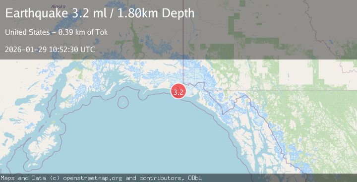
A 3.2 magnitude earthquake struck on SOUTHEASTERN ALASKA, at Thu, 29 Jan 2026 10:52:30 GMT. Depth: 10km. Reviewed by NEIC seismologists, this minor quake occurred at a magnitude type of ml.
Magnitude
3.2
ml
Source
NEIC
Intensity
-
Agency Reports
2 Sources| Source | Magnitude | Depth | Time |
|---|---|---|---|
| NEICPrimary | 3.2 | 10 km | 3 weeks ago |
| AK | 3.2 | 2 km | 3 weeks ago |
Earthquake Details
AutomaticEvent IDemsc_NEIC_20260129_0000139
Tsunami PotentialNo
Magnitude Typeml
Nearest Places
- 4.6 km
- 5.0 km
- 5.8 km
- 6.0 km
- 6.4 km
Comments
Join the discussion about this event.
Latest Earthquakes
3.1Mag
Western Australia
Time9 hours ago
Depth378.42 km
SourceVYT (Automatic)
1.4Mag
3 km E of The Geysers, CA
Time9 hours ago
Depth1.47 km
SourceUSGS (Automatic)
3.3Mag
Central Alaska
Time9 hours ago
Depth61.04 km
SourceVYT (Automatic)
0.9Mag
Washington
Time10 hours ago
Depth0.00 km
SourceVYT (Automatic)
2.7Mag
Flores Region, Indonesia
Time10 hours ago
Depth115.92 km
SourceBMKG
Nearby Earthquakes
1.9Mag
110 km WNW of Yakutat, Alaska
Time2 weeks ago
Depth5.00 km
SourceUSGS (Automatic)
1.2Mag
Southeastern Alaska
Time3 days ago
Depth0.00 km
SourceVYT (Automatic)
2.0Mag
121 km WNW of Yakutat, Alaska
Time2 weeks ago
Depth16.20 km
SourceUSGS (Automatic)
2.5Mag
SOUTHEASTERN ALASKA
Time2 months ago
Depth5.00 km
SourceNEIC (Automatic)
2.3Mag
SOUTHERN ALASKA
Time1 month ago
Depth18.70 km
SourceNEIC (Automatic)