Earthquake 110 km WNW of Yakutat, Alaska
Wed, 04 Feb 2026 07:53:34 GMT
Time9 hours ago
Location
59.8870, -141.5740
Depth
5.0 KM
Event Summary
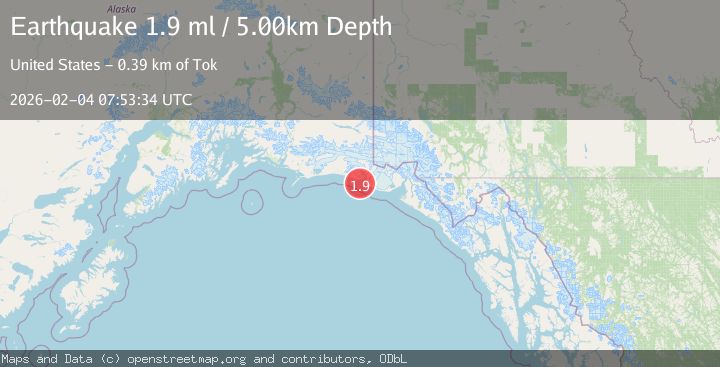
A 1.9 magnitude earthquake struck on 110 km WNW of Yakutat, Alaska, at Wed, 04 Feb 2026 07:53:34 GMT. Depth: 5km. Reviewed by USGS seismologists, this minor quake occurred at a magnitude type of ml.
Magnitude
1.9
ml
Source
USGS
Intensity
-
Agency Reports
1 Sources| Source | Magnitude | Depth | Time |
|---|---|---|---|
| USGSPrimary | 1.9 | 5 km | 9 hours ago |
Earthquake Details
AutomaticEvent IDusgs_ak2026clakal
Tsunami PotentialNo
Magnitude Typeml
Nearest Places
- Point Riou Spit6.2 km
- Tsimpshian Point6.8 km
- Point Riou7.3 km
- Riou Bay7.7 km
- Icy Bay7.8 km
Comments
Join the discussion about this event.
Latest Earthquakes
2.3Mag
Sulawesi, Indonesia
Time8 minutes ago
Depth5.00 km
SourceBMKG (Automatic)
1.4Mag
16 km NW of Midland, Texas
Time16 minutes ago
Depth5.84 km
SourceUSGS (Automatic)
3.6Mag
GUATEMALA
Time18 minutes ago
Depth2.00 km
SourceINET (Automatic)
4.0Mag
Banda Sea
Time20 minutes ago
Depth272.05 km
SourceBMKG (Automatic)
1.5Mag
9 km S of Pyote, Texas
Time21 minutes ago
Depth0.00 km
SourceUSGS (Automatic)
Nearby Earthquakes
2.1Mag
111 km WNW of Yakutat, Alaska
Time1 week ago
Depth8.00 km
SourceUSGS (Automatic)
3.5Mag
SOUTHERN ALASKA
Time6 days ago
Depth21.80 km
SourceAK (Automatic)
2.6Mag
96 km WNW of Yakutat, Alaska
Time1 week ago
Depth4.10 km
SourceUSGS (Automatic)
1.6Mag
94 km WNW of Yakutat, Alaska
Time3 days ago
Depth22.60 km
SourceUSGS (Automatic)
2.1Mag
107 km NW of Yakutat, Alaska
Time11 hours ago
Depth12.00 km
SourceUSGS (Automatic)