Earthquake SOUTHERN ALASKA
Tue, 17 May 2016 10:34:29 GMT
Time9 years ago
Location
61.3700, -147.8800
Depth
17.0 KM
Event Summary
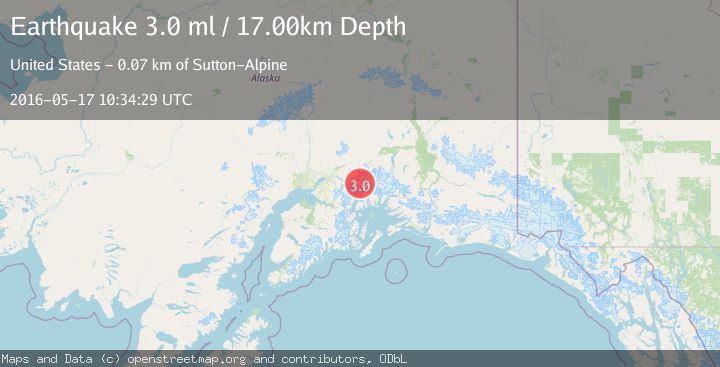
A 3.0 magnitude earthquake struck on SOUTHERN ALASKA, at Tue, 17 May 2016 10:34:29 GMT. Depth: 17km. Reviewed by NEIR seismologists, this minor quake occurred at a magnitude type of ml.
Magnitude
3.0
ml
Source
NEIR
Intensity
-
Agency Reports
1 Sources| Source | Magnitude | Depth | Time |
|---|---|---|---|
| NEIRPrimary | 3.0 | 17 km | 9 years ago |
Earthquake Details
AutomaticEvent IDemsc_NEIR_20160517_0000057
Tsunami PotentialNo
Magnitude Typeml
Nearest Places
- Mount Goode7.4 km
- Baltimore Glacier9.6 km
- Smith Glacier9.7 km
- Mount Marcus Baker10.1 km
- Marcus Baker Glacier10.3 km
Comments
Join the discussion about this event.
Latest Earthquakes
1.2Mag
Czech Republic
Time43 seconds ago
Depth0.00 km
SourceVYT (Automatic)
2.1Mag
Tarapaca, Chile
Time7 minutes ago
Depth8.18 km
SourceVYT (Automatic)
1.4Mag
12 km ESE of Olancha, CA
Time7 minutes ago
Depth7.15 km
SourceUSGS (Automatic)
2.8Mag
northwestern Russia
Time8 minutes ago
Depth10.00 km
SourceVYT (Automatic)
3.3Mag
Near North Coast of West Papua
Time8 minutes ago
Depth10.00 km
SourceBMKG
Nearby Earthquakes
1.6Mag
48 km S of Glacier View, Alaska
Time2 weeks ago
Depth20.60 km
SourceUSGS (Automatic)
1.5Mag
54 km SSW of Glacier View, Alaska
Time1 week ago
Depth5.00 km
SourceUSGS (Automatic)
1.4Mag
Southern Alaska
Time5 days ago
Depth0.61 km
SourceVYT (Automatic)
1.4Mag
50 km S of Glacier View, Alaska
Time1 week ago
Depth16.80 km
SourceUSGS (Automatic)
1.8Mag
Southern Alaska
Time11 hours ago
Depth20.02 km
SourceVYT (Automatic)