Earthquake ALASKA PENINSULA
Sat, 11 Feb 2017 04:02:00 GMT
Time9 years ago
Location
58.1000, -154.5700
Depth
90.0 KM
Event Summary
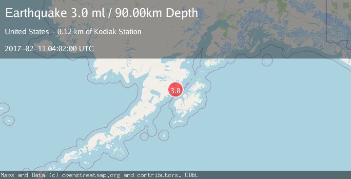
A 3.0 magnitude earthquake struck on ALASKA PENINSULA, at Sat, 11 Feb 2017 04:02:00 GMT. Depth: 90km. Reviewed by NEIR seismologists, this minor quake occurred at a magnitude type of ml.
Magnitude
3.0
ml
Source
NEIR
Intensity
-
Agency Reports
1 Sources| Source | Magnitude | Depth | Time |
|---|---|---|---|
| NEIRPrimary | 3.0 | 90 km | 9 years ago |
Earthquake Details
AutomaticEvent IDemsc_NEIR_20170211_0000025
Tsunami PotentialNo
Magnitude Typeml
Nearest Places
- Geographic Harbor1.6 km
- Amalik Bay4.6 km
- Amalik Bay Archeological District6.2 km
- Takli Island6.3 km
- Dakavak Lake7.2 km
Comments
Join the discussion about this event.
Latest Earthquakes
0.5Mag
Southern Alaska
Time1 minute ago
Depth0.00 km
SourceVYT (Automatic)
3.8Mag
Tarapaca, Chile
Time5 minutes ago
Depth93.51 km
SourceVYT (Automatic)
2.5Mag
Ceram Sea
Time6 minutes ago
Depth3.27 km
SourceBMKG
2.1Mag
Halmahera, Indonesia
Time9 minutes ago
Depth4.45 km
SourceBMKG
3.4Mag
Talaud Islands, Indonesia
Time12 minutes ago
Depth98.99 km
SourceBMKG
Nearby Earthquakes
3.0Mag
ALASKA PENINSULA
Time4 years ago
Depth100.00 km
SourceNEIC (Automatic)
1.5Mag
61 km N of Karluk, Alaska
Time3 weeks ago
Depth83.80 km
SourceUSGS (Automatic)
1.3Mag
60 km NNW of Karluk, Alaska
Time3 weeks ago
Depth5.00 km
SourceUSGS (Automatic)
2.1Mag
70 km N of Karluk, Alaska
Time2 weeks ago
Depth97.30 km
SourceUSGS (Automatic)
1.6Mag
Alaska Peninsula
Time2 days ago
Depth50.42 km
SourceVYT (Automatic)