Earthquake UNIMAK ISLAND REGION, ALASKA
Wed, 19 Jul 2017 11:10:14 GMT
Time8 years ago
Location
53.1400, -164.3900
Depth
49.0 KM
Event Summary
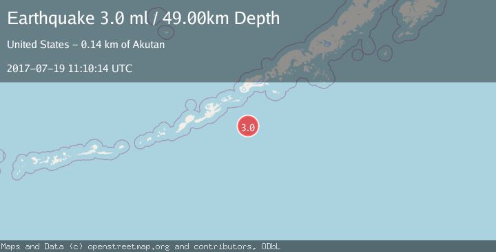
A 3.0 magnitude earthquake struck on UNIMAK ISLAND REGION, ALASKA, at Wed, 19 Jul 2017 11:10:14 GMT. Depth: 49km. Reviewed by NEIR seismologists, this minor quake occurred at a magnitude type of ml.
Magnitude
3.0
ml
Source
NEIR
Intensity
-
Agency Reports
1 Sources| Source | Magnitude | Depth | Time |
|---|---|---|---|
| NEIRPrimary | 3.0 | 49 km | 8 years ago |
Earthquake Details
AutomaticEvent IDemsc_NEIR_20170719_0000068
Tsunami PotentialNo
Magnitude Typeml
Nearest Places
- Davidson Bank104.5 km
- Agaagilag-ukux110.6 km
- Angaakix111.2 km
- Qatunaaglux111.7 km
- Tigalda Island115.1 km
Comments
Join the discussion about this event.
Latest Earthquakes
0.7Mag
84 km S of McCarthy, Alaska
Time2 minutes ago
Depth11.40 km
SourceUSGS (Automatic)
2.9Mag
Salta, Argentina
Time2 minutes ago
Depth255.49 km
SourceVYT (Automatic)
1.3Mag
4 km WSW of Calimesa, CA
Time3 minutes ago
Depth15.00 km
SourceUSGS (Automatic)
2.3Mag
Sumba Region, Indonesia
Time7 minutes ago
Depth7.66 km
SourceBMKG
3.6Mag
Southern Alaska
Time11 minutes ago
Depth10.74 km
SourceVYT (Automatic)
Nearby Earthquakes
3.0Mag
UNIMAK ISLAND REGION, ALASKA
Time5 years ago
Depth10.00 km
SourceNEIC (Automatic)
3.0Mag
UNIMAK ISLAND REGION, ALASKA
Time9 months ago
Depth12.10 km
SourceAK (Automatic)
3.0Mag
UNIMAK ISLAND REGION, ALASKA
Time3 years ago
Depth21.00 km
SourceNEIC (Automatic)
3.0Mag
UNIMAK ISLAND REGION, ALASKA
Time9 years ago
Depth7.00 km
SourceNEIR (Automatic)
3.0Mag
UNIMAK ISLAND REGION, ALASKA
Time8 years ago
Depth26.00 km
SourceNEIR (Automatic)