Earthquake SOUTHERN YUKON TERRITORY, CANADA
Sun, 29 Jul 2018 09:20:57 GMT
Time7 years ago
Location
60.3300, -139.6700
Depth
4.0 KM
Event Summary
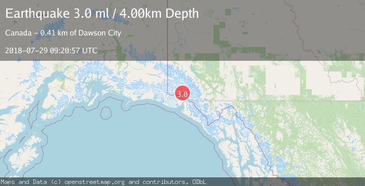
A 3.0 magnitude earthquake struck on SOUTHERN YUKON TERRITORY, CANADA, at Sun, 29 Jul 2018 09:20:57 GMT. Depth: 4km. Reviewed by NEIR seismologists, this minor quake occurred at a magnitude type of ml.
Magnitude
3.0
ml
Source
NEIR
Intensity
-
Agency Reports
1 Sources| Source | Magnitude | Depth | Time |
|---|---|---|---|
| NEIRPrimary | 3.0 | 4 km | 7 years ago |
Earthquake Details
AutomaticEvent IDemsc_NEIR_20180729_0000190
Tsunami PotentialNo
Magnitude Typeml
Nearest Places
- Mount Vancouver3.5 km
- Hubbard Glacier16.1 km
- Valerie Glacier16.4 km
- Hubbard Glacier16.6 km
- Saint Elias Mountains18.9 km
Comments
Join the discussion about this event.
Latest Earthquakes
1.9Mag
Kenai Peninsula, Alaska
Time2 minutes ago
Depth67.87 km
SourceVYT (Automatic)
1.2Mag
Southeastern Alaska
Time7 minutes ago
Depth35.28 km
SourceVYT (Automatic)
3.3Mag
off the coast of Libertador O'Higgins, Chile
Time11 minutes ago
Depth10.00 km
SourceVYT (Automatic)
1.0Mag
6 km SSW of Redlands, CA
Time13 minutes ago
Depth10.39 km
SourceUSGS (Automatic)
1.9Mag
Central Alaska
Time17 minutes ago
Depth7.57 km
SourceVYT (Automatic)
Nearby Earthquakes
3.0Mag
SOUTHERN YUKON TERRITORY, CANADA
Time8 years ago
Depth11.00 km
SourceNEIR (Automatic)
3.0Mag
SOUTHERN YUKON TERRITORY, CANADA
Time5 years ago
Depth8.00 km
SourceNEIC (Automatic)
2.5Mag
87 km N of Yakutat, Alaska
Time2 weeks ago
Depth5.00 km
SourceUSGS (Automatic)
2.4Mag
Southeastern Alaska
Time1 week ago
Depth0.00 km
SourceVYT (Automatic)
5.0Mag
SOUTHERN YUKON TERRITORY, CANADA
Time1 month ago
Depth5.00 km
SourceNEIC (Automatic)