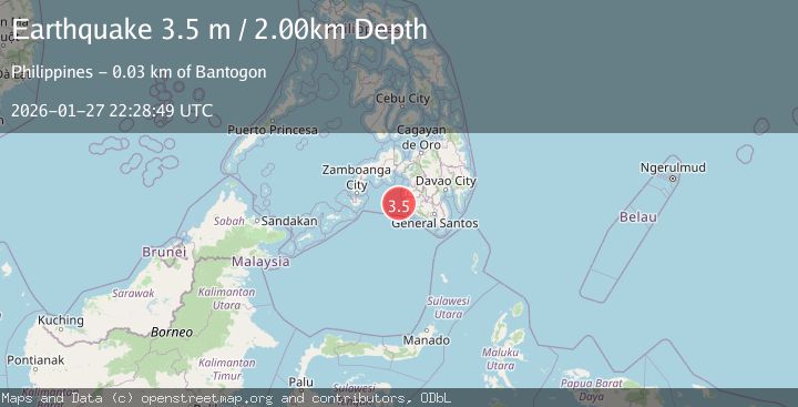
Earthquake MORO GULF, MINDANAO, PHILIPPINES
Tue, 27 Jan 2026 22:11:14 GMT
Time2 hours ago
Location
6.4700, 123.6700
Depth
4.0 KM
Event Summary
A 3.0 magnitude earthquake struck on MORO GULF, MINDANAO, PHILIPPINES, at Tue, 27 Jan 2026 22:11:14 GMT. Depth: 4km. Reviewed by PIVS seismologists, this minor quake occurred at a magnitude type of m.
Magnitude
3.0
m
Source
PIVS
Intensity
-
Agency Reports
1 Sources| Source | Magnitude | Depth | Time |
|---|---|---|---|
| PIVSPrimary | 3.0 | 4 km | 2 hours ago |
Earthquake Details
AutomaticEvent IDemsc_PIVS_20260127_0000430
Tsunami PotentialNo
Magnitude Typem
Nearest Places
- Donaung Shoals35.4 km
- Donauang Island39.0 km
- Nara Point39.4 km
- Point Pitas39.6 km
- Basiauang Bay39.6 km
Comments
Join the discussion about this event.
Latest Earthquakes
2.2Mag
CENTRAL TURKEY
Time2 hours ago
Depth7.00 km
SourceKOERI (Automatic)
2.1Mag
2 km E of North Pearsall, Texas
Time2 hours ago
Depth2.98 km
SourceUSGS (Automatic)
1.7Mag
CANARY ISLANDS, SPAIN REGION
Time2 hours ago
Depth17.70 km
SourceIGN (Automatic)
0.9Mag
10 km SSW of Valle Vista, CA
Time2 hours ago
Depth15.42 km
SourceUSGS (Automatic)
2.8Mag
Java, Indonesia
Time2 hours ago
Depth109.39 km
SourceBMKG (Automatic)
Nearby Earthquakes
3.1Mag
MORO GULF, MINDANAO, PHILIPPINES
Time6 days ago
Depth15.00 km
SourcePIVS (Automatic)
3.2Mag
MORO GULF, MINDANAO, PHILIPPINES
Time1 day ago
Depth3.00 km
SourcePIVS (Automatic)
3.5Mag
MORO GULF, MINDANAO, PHILIPPINES
Time5 hours ago
Depth19.00 km
SourcePIVS (Automatic)
3.6Mag
MORO GULF, MINDANAO, PHILIPPINES
Time2 days ago
Depth3.00 km
SourcePIVS (Automatic)
3.3Mag
MORO GULF, MINDANAO, PHILIPPINES
Time6 days ago
Depth23.00 km
SourcePIVS (Automatic)