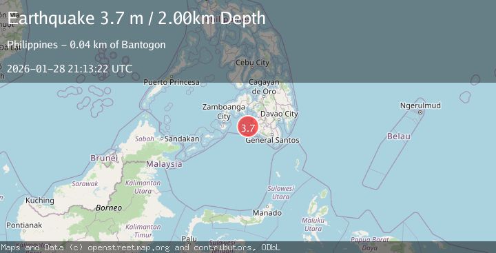
Earthquake MORO GULF, MINDANAO, PHILIPPINES
Wed, 28 Jan 2026 21:13:22 GMT
Time3 hours ago
Location
6.6000, 123.6500
Depth
2.0 KM
Event Summary
A 3.7 magnitude earthquake struck on MORO GULF, MINDANAO, PHILIPPINES, at Wed, 28 Jan 2026 21:13:22 GMT. Depth: 2km. Reviewed by PIVS seismologists, this minor quake occurred at a magnitude type of m.
Magnitude
3.7
m
Source
PIVS
Intensity
-
Agency Reports
1 Sources| Source | Magnitude | Depth | Time |
|---|---|---|---|
| PIVSPrimary | 3.7 | 2 km | 3 hours ago |
Earthquake Details
AutomaticEvent IDemsc_PIVS_20260128_0000382
Tsunami PotentialNo
Magnitude Typem
Nearest Places
- Huidobro Reef36.9 km
- Donaung Shoals38.0 km
- Linao Point40.2 km
- Ipil Point40.5 km
- Salpa Point40.6 km
Comments
Join the discussion about this event.
Latest Earthquakes
3.2Mag
Minahassa Peninsula, Sulawesi
Time3 hours ago
Depth10.00 km
SourceBMKG (Automatic)
2.5Mag
Java, Indonesia
Time3 hours ago
Depth20.42 km
SourceBMKG (Automatic)
1.4Mag
8 km ESE of Chula Vista, CA
Time4 hours ago
Depth3.08 km
SourceUSGS (Automatic)
3.0Mag
ICELAND
Time4 hours ago
Depth0.10 km
SourceIMO (Automatic)
1.1Mag
WESTERN TURKEY
Time4 hours ago
Depth11.60 km
SourceAFAD (Automatic)
Nearby Earthquakes
5.1Mag
MORO GULF, MINDANAO, PHILIPPINES
Time9 hours ago
Depth7.00 km
SourcePIVS (Automatic)
4.4Mag
MORO GULF, MINDANAO, PHILIPPINES
Time14 hours ago
Depth4.00 km
SourcePIVS (Automatic)
5.1Mag
MORO GULF, MINDANAO, PHILIPPINES
Time16 hours ago
Depth1.00 km
SourcePIVS (Automatic)
4.6Mag
MORO GULF, MINDANAO, PHILIPPINES
Time11 hours ago
Depth6.00 km
SourcePIVS (Automatic)
3.1Mag
MORO GULF, MINDANAO, PHILIPPINES
Time4 days ago
Depth19.00 km
SourcePIVS (Automatic)