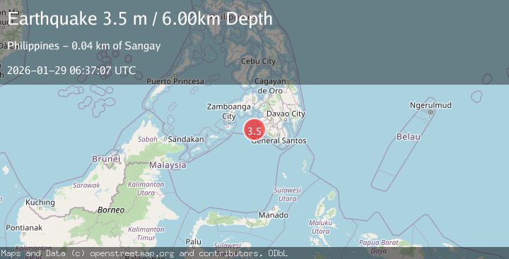
Earthquake MORO GULF, MINDANAO, PHILIPPINES
Thu, 29 Jan 2026 06:37:07 GMT
Time4 hours ago
Location
6.4100, 123.6900
Depth
6.0 KM
Event Summary
A 3.5 magnitude earthquake struck on MORO GULF, MINDANAO, PHILIPPINES, at Thu, 29 Jan 2026 06:37:07 GMT. Depth: 6km. Reviewed by PIVS seismologists, this minor quake occurred at a magnitude type of m.
Magnitude
3.5
m
Source
PIVS
Intensity
-
Agency Reports
1 Sources| Source | Magnitude | Depth | Time |
|---|---|---|---|
| PIVSPrimary | 3.5 | 6 km | 4 hours ago |
Earthquake Details
AutomaticEvent IDemsc_PIVS_20260129_0000095
Tsunami PotentialNo
Magnitude Typem
Nearest Places
- Donaung Shoals35.1 km
- Donauang Island37.1 km
- Basiauang Bay37.9 km
- Danawan Point38.0 km
- Basiauang Point38.3 km
Comments
Join the discussion about this event.
Latest Earthquakes
1.8Mag
0 km NE of Redlands, CA
Time4 hours ago
Depth10.90 km
SourceUSGS (Automatic)
1.9Mag
4 km SSW of Yountville, CA
Time4 hours ago
Depth3.75 km
SourceUSGS (Automatic)
3.5Mag
West Papua Region, Indonesia
Time4 hours ago
Depth11.71 km
SourceBMKG (Automatic)
2.6Mag
CYPRUS REGION
Time4 hours ago
Depth50.80 km
SourceKOERI (Automatic)
2.3Mag
75 km NNE of Petersville, Alaska
Time4 hours ago
Depth113.80 km
SourceUSGS (Automatic)
Nearby Earthquakes
6.1Mag
Mindanao, Philippines
Time1 day ago
Depth10.00 km
SourceBMKG (Automatic)
3.1Mag
MORO GULF, MINDANAO, PHILIPPINES
Time6 days ago
Depth10.00 km
SourcePIVS (Automatic)
3.4Mag
MORO GULF, MINDANAO, PHILIPPINES
Time6 days ago
Depth9.00 km
SourcePIVS (Automatic)
3.6Mag
MORO GULF, MINDANAO, PHILIPPINES
Time3 days ago
Depth3.00 km
SourcePIVS (Automatic)
5.4Mag
Mindanao, Philippines
Time1 day ago
Depth16.72 km
SourceBMKG (Automatic)