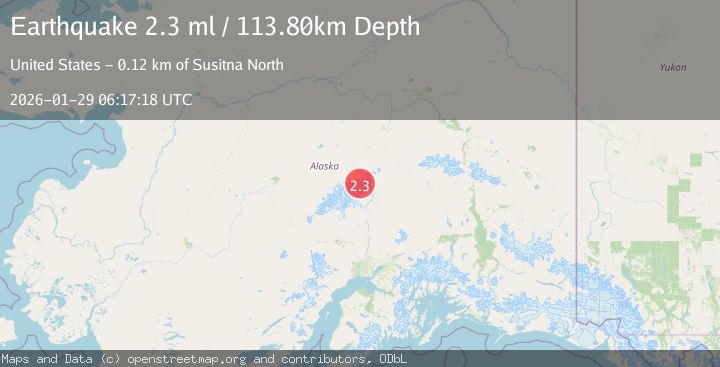
Earthquake 75 km NNE of Petersville, Alaska
Thu, 29 Jan 2026 06:17:18 GMT
Time6 hours ago
Location
63.1580, -150.4720
Depth
113.8 KM
Event Summary
A 2.3 magnitude earthquake struck on 75 km NNE of Petersville, Alaska, at Thu, 29 Jan 2026 06:17:18 GMT. Depth: 113.8km. Reviewed by USGS seismologists, this minor quake occurred at a magnitude type of ml.
Magnitude
2.3
ml
Source
USGS
Intensity
-
Agency Reports
1 Sources| Source | Magnitude | Depth | Time |
|---|---|---|---|
| USGSPrimary | 2.3 | 114 km | 6 hours ago |
Earthquake Details
AutomaticEvent IDusgs_ak2026bzwvtu
Tsunami PotentialNo
Magnitude Typeml
Nearest Places
- Mount Deception3.0 km
- Mount Mather4.5 km
- Wedge Peak5.3 km
- Ragged Peak6.1 km
- Brooks Glacier6.5 km
Comments
Join the discussion about this event.
Latest Earthquakes
2.1Mag
Java, Indonesia
Time6 hours ago
Depth10.00 km
SourceBMKG (Automatic)
3.4Mag
Minahassa Peninsula, Sulawesi
Time6 hours ago
Depth42.59 km
SourceBMKG (Automatic)
3.0Mag
CENTRAL ALASKA
Time6 hours ago
Depth10.20 km
SourceAK (Automatic)
2.7Mag
Northern Sumatra, Indonesia
Time6 hours ago
Depth14.71 km
SourceBMKG (Automatic)
2.5Mag
ISLAND OF HAWAII, HAWAII
Time6 hours ago
Depth27.40 km
SourceHV (Automatic)
Nearby Earthquakes
1.4Mag
69 km SE of Denali National Park, Alaska
Time4 days ago
Depth119.50 km
SourceUSGS (Automatic)
3.0Mag
CENTRAL ALASKA
Time3 days ago
Depth134.50 km
SourceAK (Automatic)
1.6Mag
71 km WSW of Cantwell, Alaska
Time3 days ago
Depth98.90 km
SourceUSGS (Automatic)
2.3Mag
63 km SE of Denali National Park, Alaska
Time3 days ago
Depth127.50 km
SourceUSGS (Automatic)
2.8Mag
63 km SE of Denali National Park, Alaska
Time1 day ago
Depth123.60 km
SourceUSGS (Automatic)