Earthquake WESTERN TEXAS
Wed, 14 Jan 2026 16:54:31 GMT
Time1 month ago
Location
31.4800, -104.0220
Depth
4.3 KM
Event Summary
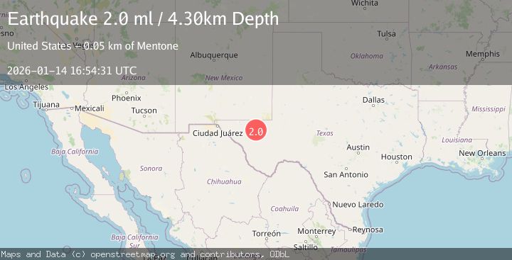
A 2.0 magnitude earthquake struck on WESTERN TEXAS, at Wed, 14 Jan 2026 16:54:31 GMT. Depth: 4.3km. Reviewed by TX seismologists, this minor quake occurred at a magnitude type of ml.
Magnitude
2.0
ml
Source
TX
Intensity
-
Agency Reports
1 Sources| Source | Magnitude | Depth | Time |
|---|---|---|---|
| TXPrimary | 2.0 | 4 km | 1 month ago |
Earthquake Details
AutomaticEvent IDemsc_TX_20260114_0000235
Tsunami PotentialNo
Magnitude Typeml
Nearest Places
- Juan Windmill3.5 km
- The Seep4.1 km
- Seven K Draw4.9 km
- Estes Draw5.2 km
- Oil Well Windmill5.7 km
Comments
Join the discussion about this event.
Latest Earthquakes
2.8Mag
Sunda Strait, Indonesia
Time7 minutes ago
Depth3.61 km
SourceBMKG
3.6Mag
south of Alaska
Time8 minutes ago
Depth10.00 km
SourceVYT (Automatic)
1.2Mag
Central Alaska
Time10 minutes ago
Depth68.97 km
SourceVYT (Automatic)
1.2Mag
Washington
Time11 minutes ago
Depth0.00 km
SourceVYT (Automatic)
0.8Mag
10 km WNW of The Geysers, CA
Time18 minutes ago
Depth1.96 km
SourceUSGS (Automatic)
Nearby Earthquakes
2.0Mag
WESTERN TEXAS
Time1 week ago
Depth6.20 km
SourceTX (Automatic)
3.0Mag
WESTERN TEXAS
Time4 months ago
Depth7.10 km
SourceTX (Automatic)
0.7Mag
32 km NW of Toyah, Texas
Time6 days ago
Depth3.47 km
SourceUSGS (Automatic)
2.9Mag
western Texas
Time1 week ago
Depth11.84 km
SourceVYT (Automatic)
1.5Mag
32 km NW of Toyah, Texas
Time5 days ago
Depth2.79 km
SourceUSGS (Automatic)