Earthquake 80 km NW of Yakutat, Alaska
Thu, 01 Jan 2026 20:01:48 GMT
Time1 hour ago
Location
60.1200, -140.5920
Depth
8.2 KM
Event Summary
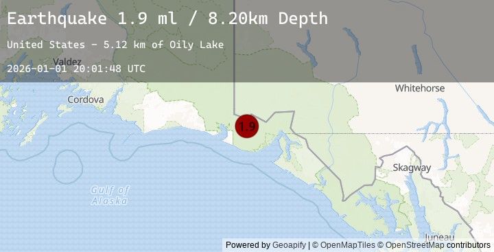
A 1.9 magnitude earthquake struck on 80 km NW of Yakutat, Alaska, at Thu, 01 Jan 2026 20:01:48 GMT. Depth: 8.2km. Reviewed by USGS seismologists, this minor quake occurred at a magnitude type of ml.
Magnitude
1.9
ml
Source
USGS
Intensity
-
Agency Reports
1 Sources| Source | Magnitude | Depth | Time |
|---|---|---|---|
| USGSPrimary | 1.9 | 8 km | 1 hour ago |
Earthquake Details
AutomaticEvent IDusgs_ak2026abnvqf
Tsunami PotentialNo
Magnitude Typeml
Nearest Places
- Oily Lake5.1 km
- Samovar Hills7.6 km
- Dome Pass10.7 km
- Agassiz Glacier11.1 km
- Boundary Peak 18411.6 km
Comments
Join the discussion about this event.
Latest Earthquakes
0.8Mag
10 km WNW of The Geysers, CA
Time9 minutes ago
Depth2.55 km
SourceUSGS (Automatic)
2.3Mag
Minahassa Peninsula, Sulawesi
Time12 minutes ago
Depth10.00 km
SourceBMKG (Automatic)
1.7Mag
15 km SW of Hope, Alaska
Time12 minutes ago
Depth39.30 km
SourceUSGS (Automatic)
5.1Mag
VANUATU
Time13 minutes ago
Depth35.00 km
SourceEMSC (Automatic)
1.7Mag
15 km ENE of Borrego Springs, CA
Time15 minutes ago
Depth11.03 km
SourceUSGS (Automatic)
Nearby Earthquakes
2.7Mag
106 km N of Yakutat, Alaska
Time6 hours ago
Depth5.00 km
SourceUSGS
3.8Mag
SOUTHERN YUKON TERRITORY, CANADA
Time8 hours ago
Depth1.90 km
SourceEMSC (Automatic)
3.8Mag
101 km N of Yakutat, Alaska
Time8 hours ago
Depth1.90 km
SourceUSGS
3.7Mag
111 km N of Yakutat, Alaska
Time8 hours ago
Depth5.00 km
SourceUSGS
3.7Mag
SOUTHERN YUKON TERRITORY, CANADA
Time9 hours ago
Depth5.00 km
SourceEMSC (Automatic)