Earthquake 106 km N of Yakutat, Alaska
Thu, 01 Jan 2026 15:34:09 GMT
Time8 hours ago
Location
60.4896, -140.0537
Depth
5.0 KM
Event Summary
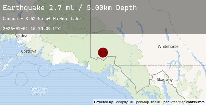
A 2.7 magnitude earthquake struck on 106 km N of Yakutat, Alaska, at Thu, 01 Jan 2026 15:34:09 GMT. Depth: 5km. Reviewed by USGS seismologists, this minor quake occurred at a magnitude type of ml.
Magnitude
2.7
ml
Source
USGS
Intensity
-
Earthquake Details
ConfirmedEvent IDusgs_us7000rlxu
Tsunami PotentialNo
Magnitude Typeml
Nearest Places
- Marker Lake4.4 km
- Mount King George15.3 km
- McArthur Peak15.6 km
- Mount Logan21.1 km
- Mount Queen Mary23.6 km
Comments
Join the discussion about this event.
Latest Earthquakes
2.2Mag
56 km WNW of Nanwalek, Alaska
Time7 hours ago
Depth89.70 km
SourceUSGS (Automatic)
3.7Mag
SUCRE, VENEZUELA
Time7 hours ago
Depth1.00 km
SourceEMSC (Automatic)
2.4Mag
Minahassa Peninsula, Sulawesi
Time7 hours ago
Depth155.51 km
SourceBMKG (Automatic)
2.5Mag
SULAWESI, INDONESIA
Time7 hours ago
Depth154.00 km
SourceEMSC (Automatic)
3.4Mag
KODIAK ISLAND REGION, ALASKA
Time7 hours ago
Depth41.50 km
SourceEMSC (Automatic)
Nearby Earthquakes
3.8Mag
101 km N of Yakutat, Alaska
Time10 hours ago
Depth1.90 km
SourceUSGS
3.8Mag
SOUTHERN YUKON TERRITORY, CANADA
Time10 hours ago
Depth1.90 km
SourceEMSC (Automatic)
3.7Mag
111 km N of Yakutat, Alaska
Time10 hours ago
Depth5.00 km
SourceUSGS
3.7Mag
SOUTHERN YUKON TERRITORY, CANADA
Time11 hours ago
Depth5.00 km
SourceEMSC (Automatic)
3.7Mag
109 km N of Yakutat, Alaska
Time11 hours ago
Depth5.00 km
SourceUSGS