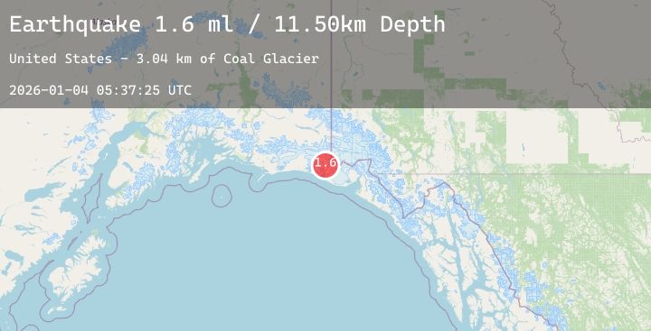
Earthquake 113 km NW of Yakutat, Alaska
Sun, 04 Jan 2026 05:37:25 GMT
Time4 days ago
Location
60.1970, -141.2860
Depth
11.5 KM
Event Summary
A 1.6 magnitude earthquake struck on 113 km NW of Yakutat, Alaska, at Sun, 04 Jan 2026 05:37:25 GMT. Depth: 11.5km. Reviewed by USGS seismologists, this minor quake occurred at a magnitude type of ml.
Magnitude
1.6
ml
Source
USGS
Intensity
-
Agency Reports
1 Sources| Source | Magnitude | Depth | Time |
|---|---|---|---|
| USGSPrimary | 1.6 | 12 km | 4 days ago |
Earthquake Details
AutomaticEvent IDusgs_ak2026afyjkv
Tsunami PotentialNo
Magnitude Typeml
Nearest Places
- Coal Glacier2.9 km
- Daisy Glacier3.8 km
- Karr Hills5.7 km
- Tyndall Glacier7.9 km
- Hoof Hill9.9 km
Comments
Join the discussion about this event.
Latest Earthquakes
2.0Mag
69 km W of Tyonek, Alaska
Time2 days ago
Depth140.60 km
SourceUSGS (Automatic)
0.9Mag
SLOVENIA
Time2 days ago
Depth0.00 km
SourceOGS (Automatic)
3.2Mag
OFF COAST OF CENTRAL AMERICA
Time2 days ago
Depth7.00 km
SourceINET (Automatic)
3.0Mag
74 km N of San Juan, Puerto Rico
Time2 days ago
Depth25.67 km
SourceUSGS
1.2Mag
WESTERN TURKEY
Time2 days ago
Depth7.00 km
SourceAFAD (Automatic)
Nearby Earthquakes
1.6Mag
87 km SE of McCarthy, Alaska
Time2 days ago
Depth30.00 km
SourceUSGS (Automatic)
2.7Mag
SOUTHERN YUKON TERRITORY, CANADA
Time2 days ago
Depth5.00 km
SourceNEIC (Automatic)
2.3Mag
103 km NW of Yakutat, Alaska
Time2 days ago
Depth5.00 km
SourceUSGS (Automatic)
1.9Mag
115 km SE of McCarthy, Alaska
Time2 days ago
Depth12.90 km
SourceUSGS (Automatic)
4.2Mag
88 km N of Yakutat, Alaska
Time3 days ago
Depth1.00 km
SourceUSGS