Earthquake 50 km W of Anchor Point, Alaska
Thu, 08 Jan 2026 03:04:11 GMT
Time2 days ago
Location
59.8450, -152.7230
Depth
84.8 KM
Event Summary
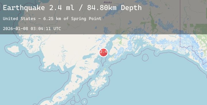
A 2.4 magnitude earthquake struck on 50 km W of Anchor Point, Alaska, at Thu, 08 Jan 2026 03:04:11 GMT. Depth: 84.8km. Reviewed by USGS seismologists, this minor quake occurred at a magnitude type of ml.
Magnitude
2.4
ml
Source
USGS
Intensity
-
Agency Reports
1 Sources| Source | Magnitude | Depth | Time |
|---|---|---|---|
| USGSPrimary | 2.4 | 85 km | 2 days ago |
Earthquake Details
AutomaticEvent IDusgs_ak2026ancexc
Tsunami PotentialNo
Magnitude Typeml
Nearest Places
- Spring Point6.1 km
- Shelter Cove6.4 km
- Herbs Lagoon6.7 km
- Red River6.9 km
- Shelter Creek7.2 km
Comments
Join the discussion about this event.
Latest Earthquakes
1.8Mag
24 km W of Garden City, Texas
Time2 days ago
Depth3.86 km
SourceUSGS (Automatic)
3.6Mag
Minahassa Peninsula, Sulawesi
Time2 days ago
Depth10.00 km
SourceBMKG (Automatic)
1.4Mag
3 km ESE of Loma Linda, CA
Time2 days ago
Depth13.80 km
SourceUSGS (Automatic)
2.5Mag
26 km WSW of Skwentna, Alaska
Time2 days ago
Depth103.40 km
SourceUSGS (Automatic)
2.1Mag
Near North Coast of West Papua
Time2 days ago
Depth12.45 km
SourceBMKG (Automatic)
Nearby Earthquakes
1.8Mag
57 km E of Pedro Bay, Alaska
Time2 days ago
Depth117.90 km
SourceUSGS (Automatic)
1.9Mag
58 km W of Anchor Point, Alaska
Time2 days ago
Depth92.00 km
SourceUSGS (Automatic)
3.0Mag
SOUTHERN ALASKA
Time2 days ago
Depth54.60 km
SourceAK (Automatic)
2.3Mag
12 km SE of Clam Gulch, Alaska
Time2 days ago
Depth41.00 km
SourceUSGS (Automatic)
2.4Mag
52 km WNW of Happy Valley, Alaska
Time2 days ago
Depth88.80 km
SourceUSGS (Automatic)