Earthquake 79 km S of McCarthy, Alaska
Tue, 13 Jan 2026 18:03:25 GMT
Time1 day ago
Location
60.7270, -142.7010
Depth
9.8 KM
Event Summary
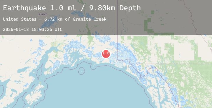
A 1.0 magnitude earthquake struck on 79 km S of McCarthy, Alaska, at Tue, 13 Jan 2026 18:03:25 GMT. Depth: 9.8km. Reviewed by USGS seismologists, this minor quake occurred at a magnitude type of ml.
Magnitude
1.0
ml
Source
USGS
Intensity
-
Agency Reports
1 Sources| Source | Magnitude | Depth | Time |
|---|---|---|---|
| USGSPrimary | 1.0 | 10 km | 1 day ago |
Earthquake Details
AutomaticEvent IDusgs_ak2026axkqeo
Tsunami PotentialNo
Magnitude Typeml
Nearest Places
- Barkley Lake5.6 km
- Granite Creek6.5 km
- Ross Green Lake9.8 km
- Twelvemile Creek10.7 km
- Needle Mountain12.0 km
Comments
Join the discussion about this event.
Latest Earthquakes
2.6Mag
West Papua Region, Indonesia
Time1 day ago
Depth10.00 km
SourceBMKG (Automatic)
2.0Mag
SOUTHERN CALIFORNIA
Time1 day ago
Depth4.70 km
SourceSCSN (Automatic)
2.7Mag
SOUTH OF BALI, INDONESIA
Time1 day ago
Depth25.00 km
SourceBMKG (Automatic)
1.6Mag
28 km WSW of Anchor Point, Alaska
Time1 day ago
Depth91.00 km
SourceUSGS (Automatic)
3.0Mag
South of Java, Indonesia
Time1 day ago
Depth10.00 km
SourceBMKG (Automatic)